| PalestineRemembered | About Us | Oral History | العربية | |
| Pictures | Zionist FAQs | Haavara | Maps | |
| Search |
| Camps |
| Districts |
| Acre |
| Baysan |
| Beersheba |
| Bethlehem |
| Gaza |
| Haifa |
| Hebron |
| Jaffa |
| Jericho |
| Jerusalem |
| Jinin |
| Nablus |
| Nazareth |
| Ramallah |
| al-Ramla |
| Safad |
| Tiberias |
| Tulkarm |
| Donate |
| Contact |
| Profile |
| Videos |
Welcome To Bayt Hanun - بيت حنون (בית חאנון)
|
District of Gaza
|
العربية Google Earth |
| Gallery (5) |
- Statistics & Facts
-
Before & After

- Satellite View
- Articles 8
- Pictures 5
- Members 6
- Families

- Wikipedia
- Videos 1
- Guest Book
- Links 4
| Statistic & Fact | Value | |||||||||||||||||||||
| Distance From District | 3 km northeast of Gaza | |||||||||||||||||||||
| Elevation | 50 meters | |||||||||||||||||||||
| Before & After Nakba, Click Map For Details |
||||||||||||||||||||||

|
||||||||||||||||||||||
| Land Ownership |
**Town Lands' Demarcation Maps |
|||||||||||||||||||||
| Land Usage As of 1945 |
|
|||||||||||||||||||||
| Lands usurped within armistice area | 7,762 Dunums | |||||||||||||||||||||
| Population |
|
|||||||||||||||||||||
| Near By Towns |
||||||||||||||||||||||
|
||||||||||||||||||||||
| Related Maps | Town Lands' Demarcation Maps خرائط للقضاء توضح حدود القرى والاودية View from satellite Town's map on MapQuest Help us map this town at WikiMapia |
|||||||||||||||||||||
| Related Links | Wikipedia's Page Google Search Google For Images Google For Videos في كتاب بلادنا فلسطين المزيد من موقع هوية |
|||||||||||||||||||||
- الفصل الثاني من كتاب بيت حانون تاريخ وحضارة للمؤلف م.محمود الزعانين
- الفصل الثالث من كتاب بيت حانون تاريخ وحضارة تأليف م.محمود الزعانين
- الجزء الأول من الفصل الرابع من كتاب بيت حانون تاريخ وحضارة تأليف م. محمود الزعانين
- الجزء الثاني من الفصل الرابع من كتاب بيت حانون تاريخ وحضارة تأليف م. محمود الزعانين
- الجزء الثالث من الفصل الرابع من كتاب بيت حانون تاريخ وحضارة تأليف م. محمود الزعانين
- الفصل الخامس ( قبل الأخير ) من كتاب بيت حانون تاريخ وحضارة تأليف م. محمود الزعانين
- من ملحق الوثائق والمستندات من من كتاب بيت حانون تاريخ وحضارة تأليف م. محمود الزعانين
- الفصل الأول من كتاب بيت حانون تاريخ وحضارة تأليف م.محمود الزعانين
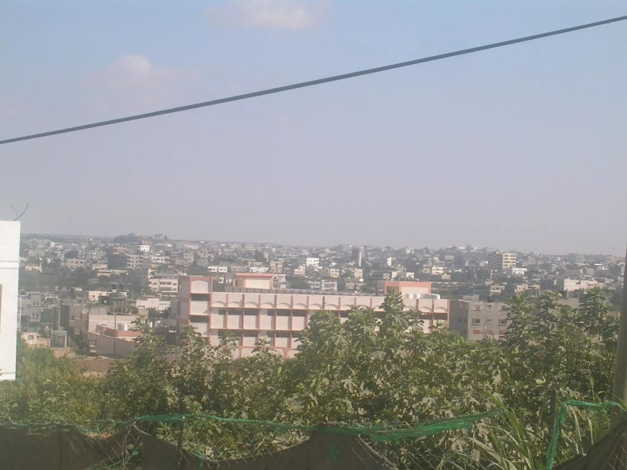
- General view with Jabalya Refugee Camp
1 - أثار القصف الصهيوني على نادي بيت حانون الرياضي
Posted by م. محمود الزعانين - صورة للقصف الصهيوني على النادي الرياضي في بيت حانون
Posted by م. محمود الزعانين - منطقة بيت حانون وسط البلد
Posted by بيت حانون - خارطة تُظهِر الحدود والطرق بأنواعها والأماكن المقدسة والطبيعة الطوبغرافية من تلال وسهول ومنحدرات والتشكيلة الطبيعية للأرض وأنواع المزروعات. نُشرت الخريطة فترة الانتداب البريطاني، تم إضافة تعديلات عليها من قِبَل خدمة الخرائط والصور التابعة للقوات العسكرية الاسرائيلية فترة الأربعينيات.
Want to browse more? 80,000 pictures were grouped in these gallaries:
| Display Name | Clan/Hamolah | Country of Residence |
| م.تامر الزعانين | الزعانين | - |
| أبو قاسم | نشوان | بيت حانون |
| محمد الكفارنة | الكفارنة | - |
| م.صبحي حسن ناصر | ناصر | غزة, فلسطين |
| ousam | - | beit hanoun |
| م. محمود الزعانين | محمود | - |


