| PalestineRemembered | About Us | Oral History | العربية | |
| Pictures | Zionist FAQs | Haavara | Maps | |
| Search |
| Camps |
| Districts |
| Acre |
| Baysan |
| Beersheba |
| Bethlehem |
| Gaza |
| Haifa |
| Hebron |
| Jaffa |
| Jericho |
| Jerusalem |
| Jinin |
| Nablus |
| Nazareth |
| Ramallah |
| al-Ramla |
| Safad |
| Tiberias |
| Tulkarm |
| Donate |
| Contact |
| Profile |
| Videos |
|
Prev |
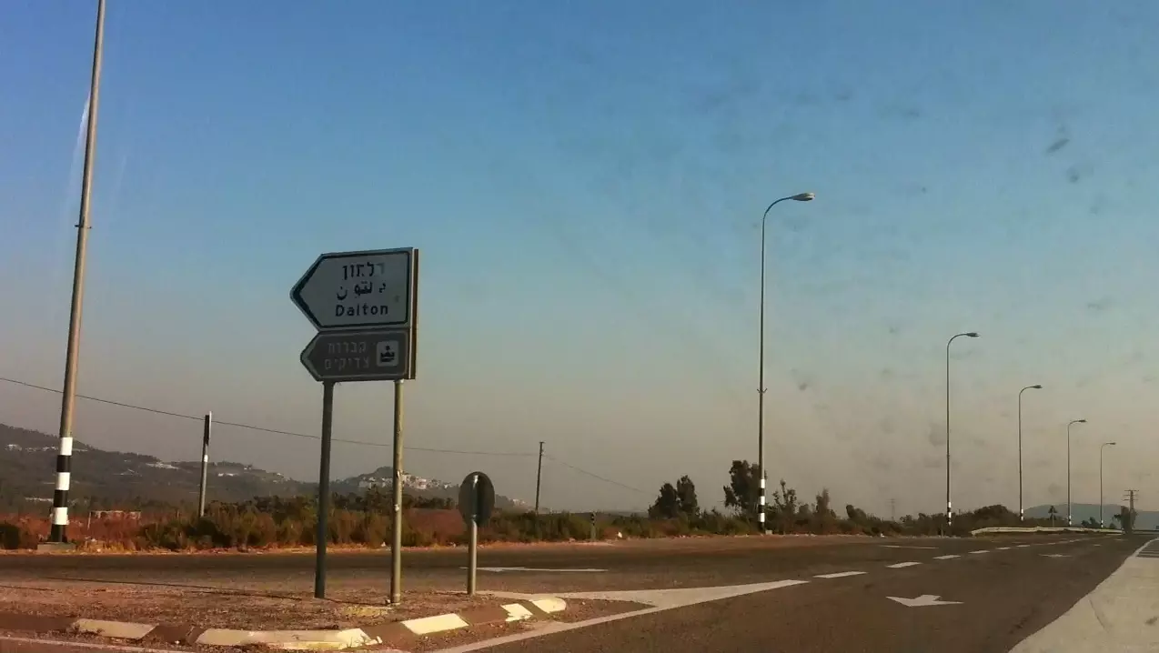
Taytaba - طيطبا: Taytaba 2015 - 4 - Road 886 that goes through the village to Safad and Ein Zeitim Settlement in South East (Picture Location 33°01'03.9"N 35°28'34.9"E) - طيطبا 2015 – 4 - الطريق العام 886 المؤدي إلى صفد و مستوطنة عين زيتم في الجنوب الشرقي0 comment |
Next
العربية |
| Posted by 3amir Shana3a On October 27, 2015 |
||
| Upload | Prev 19 20 21 22 23 Next | Satellite |


Post Your Comment
*It should be NOTED that your email address won't be shared, and all communications between members will be routed via the website's mail server.