| PalestineRemembered | About Us | Oral History | العربية | |
| Pictures | Zionist FAQs | Haavara | Maps | |
| Search |
| Camps |
| Districts |
| Acre |
| Baysan |
| Beersheba |
| Bethlehem |
| Gaza |
| Haifa |
| Hebron |
| Jaffa |
| Jericho |
| Jerusalem |
| Jinin |
| Nablus |
| Nazareth |
| Ramallah |
| al-Ramla |
| Safad |
| Tiberias |
| Tulkarm |
| Donate |
| Contact |
| Profile |
| Videos |
Welcome To Qusin - قوصين (קוסין)
|
District of Nablus
Occupied days ago |
العربية Google Earth |
 |
Gallery (113) |
- Statistics & Facts
-
Before & After

- Satellite View
- Articles 2
- Pictures 113
- Mayrters & Prisoners 3
- Members 7
- Families
- Wikipedia
- ARIJ Guide
- Videos 1
- Guest Book 7
- Links
| Statistic & Fact | Value | ||||||||||||||||
| Distance From District | 8 km west of Nablus | ||||||||||||||||
| Elevation | 500 meters | ||||||||||||||||
| Before & After Nakba, Click Map For Details |
|||||||||||||||||
|
|||||||||||||||||
| Land Ownership |
**Town Lands' Demarcation Maps |
||||||||||||||||
| Land Usage As of 1945 |
|
||||||||||||||||
| Population |
|
||||||||||||||||
| Near By Towns |
|||||||||||||||||
|
|||||||||||||||||
| Featured Video | |||||||||||||||||
| Related Maps | Town Lands' Demarcation Maps خرائط للقضاء توضح حدود القرى والاودية View from satellite Town's map on MapQuest Help us map this town at WikiMapia |
||||||||||||||||
| Related Links | Wikipedia's Page Facebook Page Google Search Google For Images Google For Videos في كتاب بلادنا فلسطين دليل أريج المزيد من موقع هوية |
||||||||||||||||
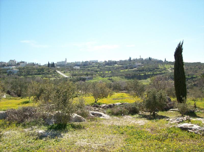
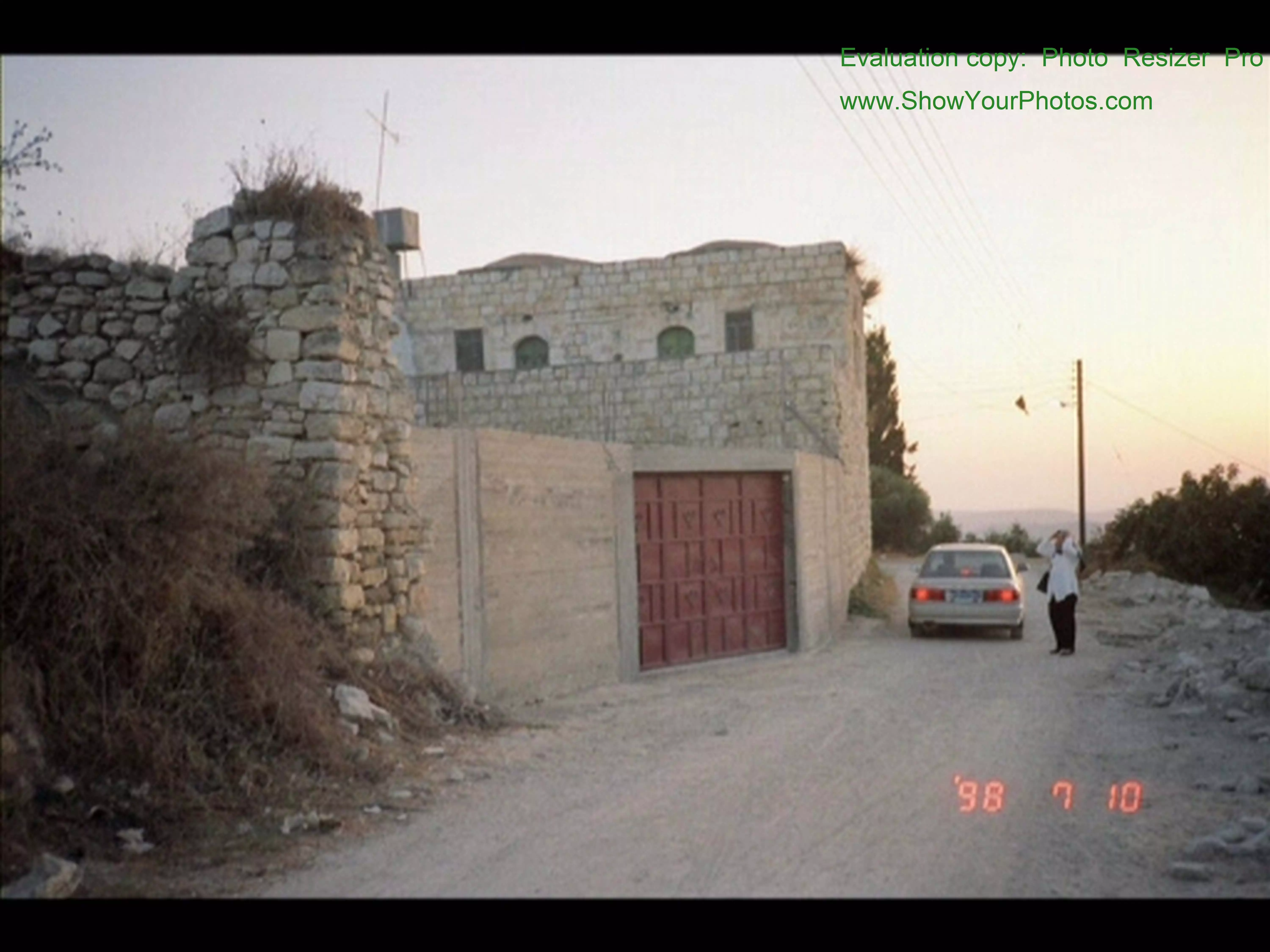
- View from Qusin
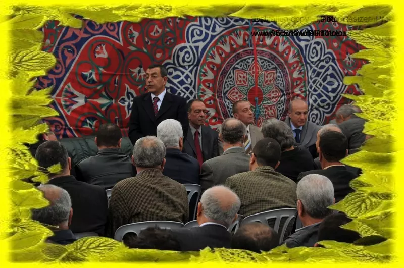
Posted by Zohair alqusiny - طريق زراعي بين الحقول قوصين 2007 تصوير ناصر شحاده العوريفي

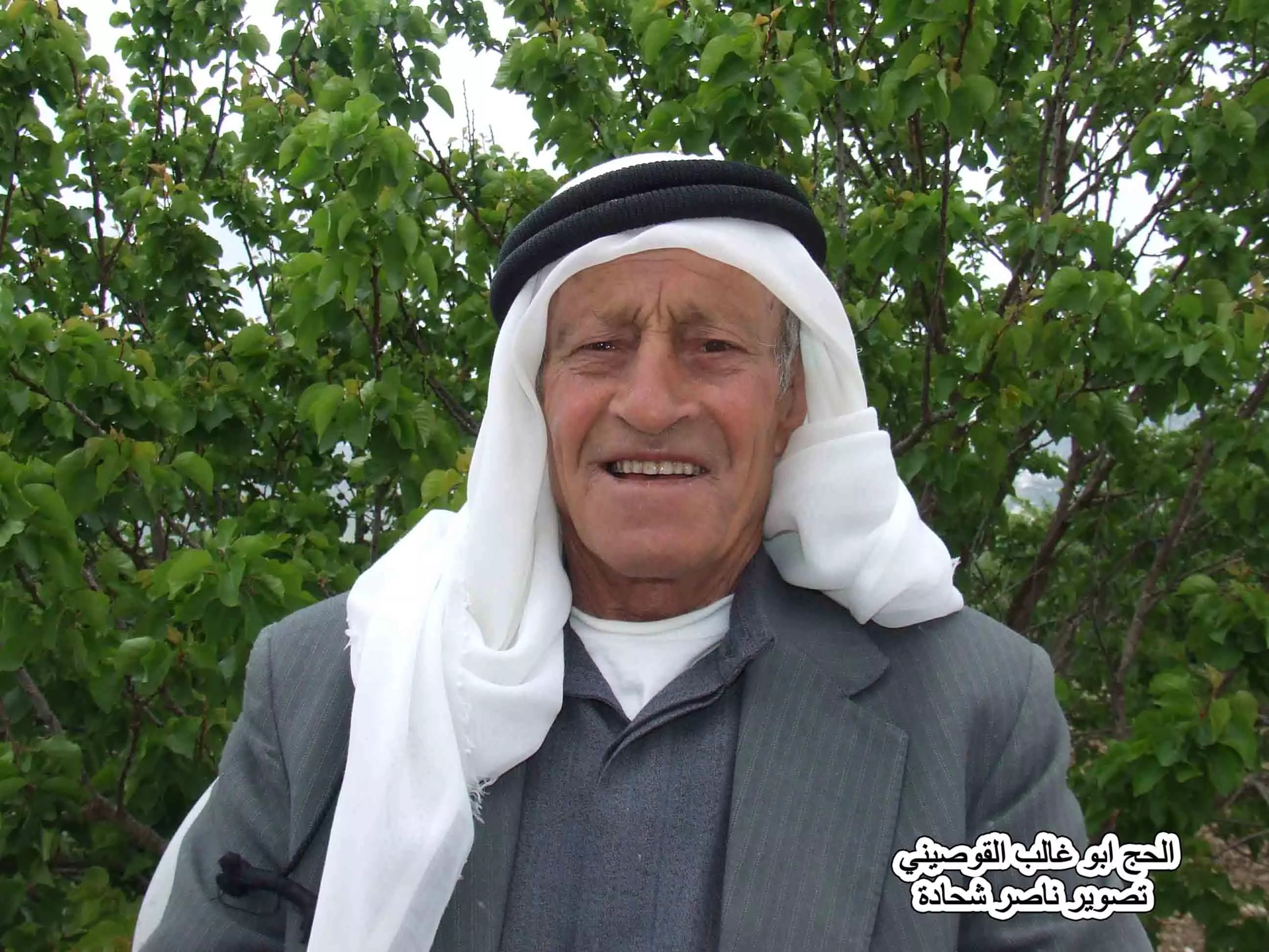
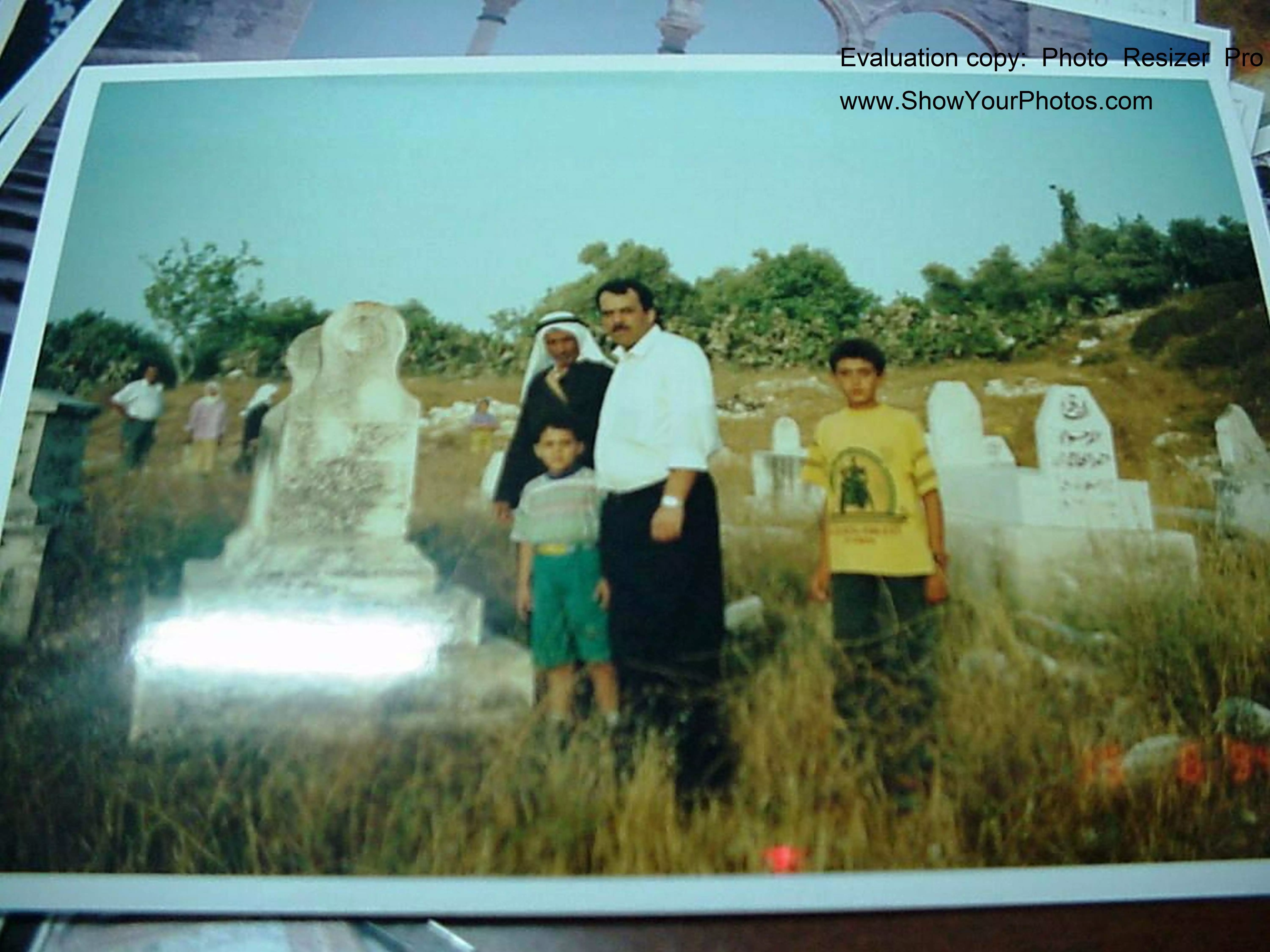
Posted by naser abed - الحج ابو غالب القوصيني2007 تصوير ناصر شحاده العوريفي
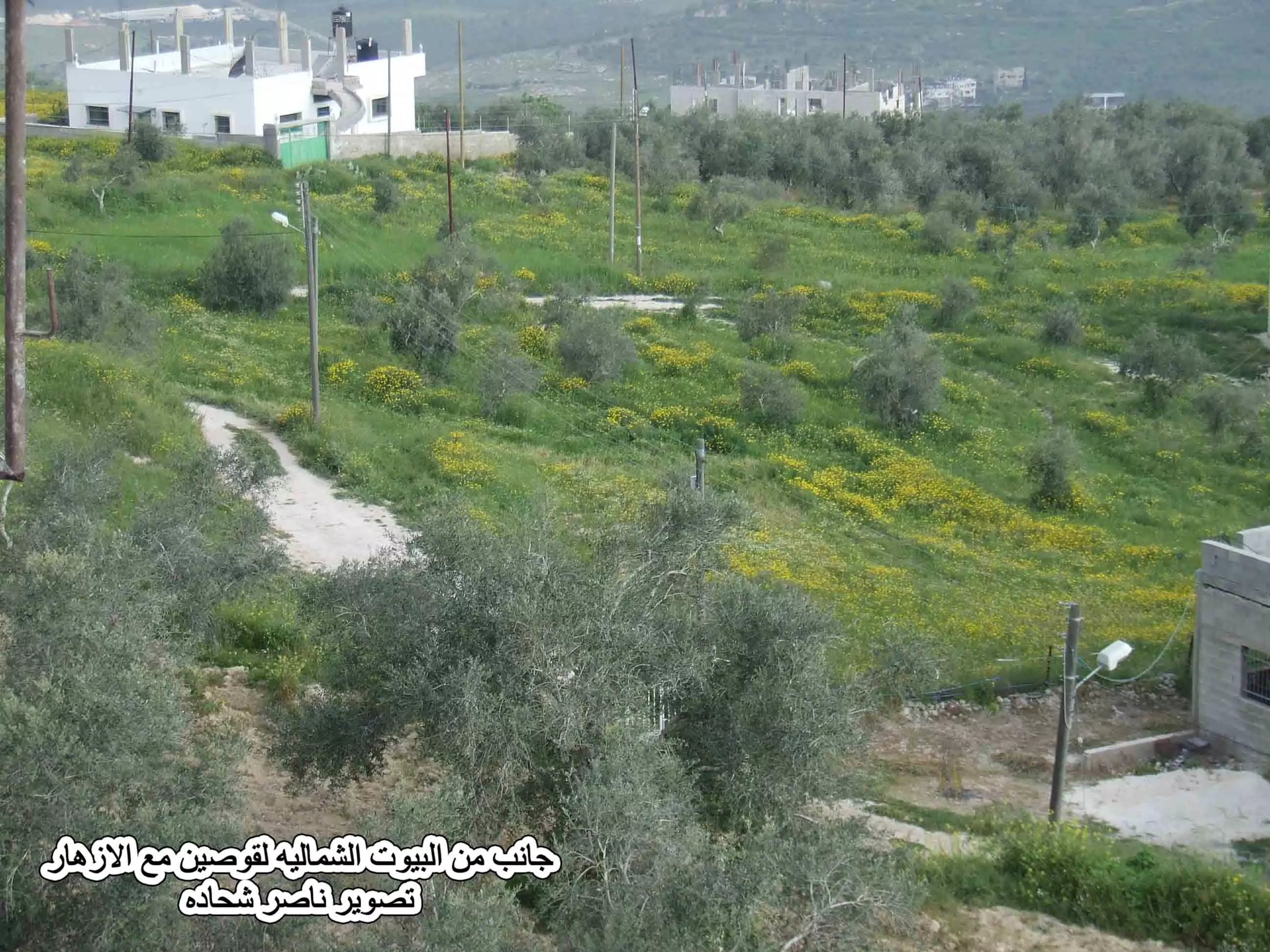
Posted by naser abed - الجهة الشمالية من قوصين تصوير ناصر شحاده العوريفي
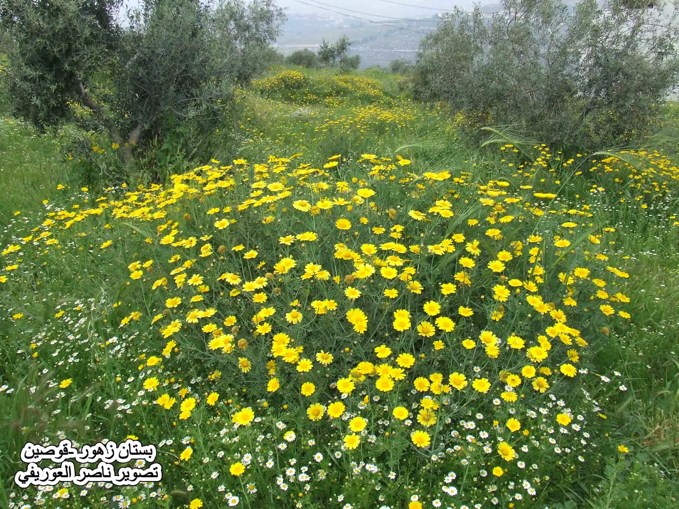
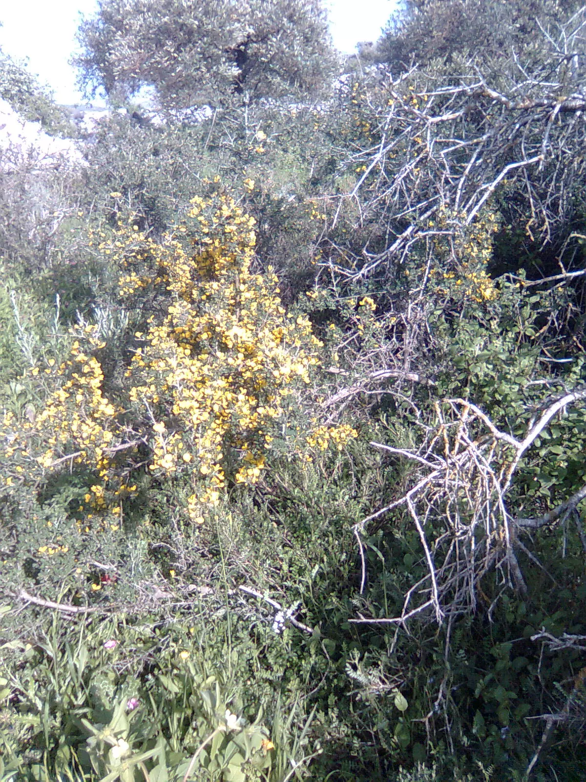
Posted by naser abed - بستان زهور في قوصين تصوير ناصر شحاده العوريفي
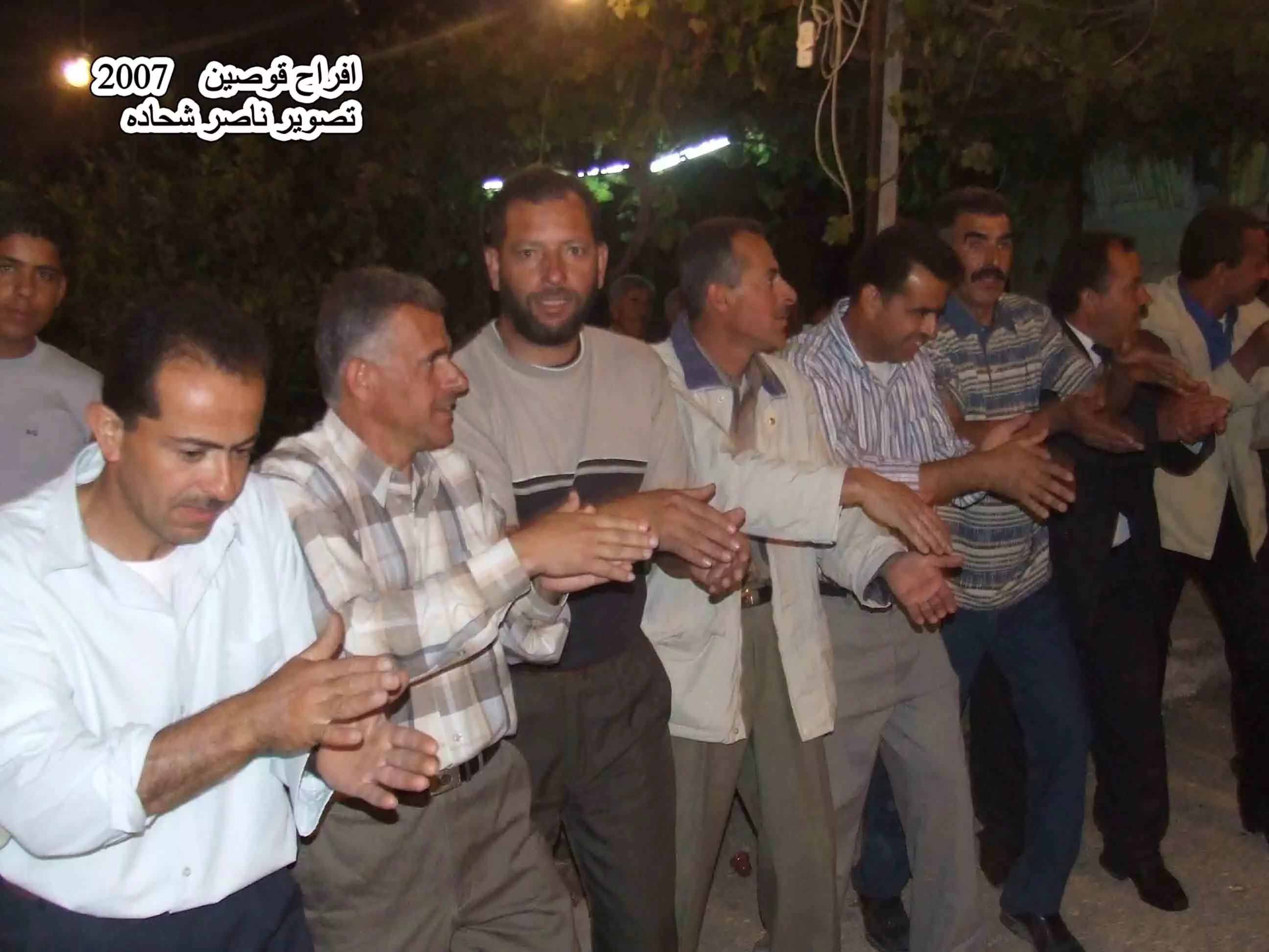
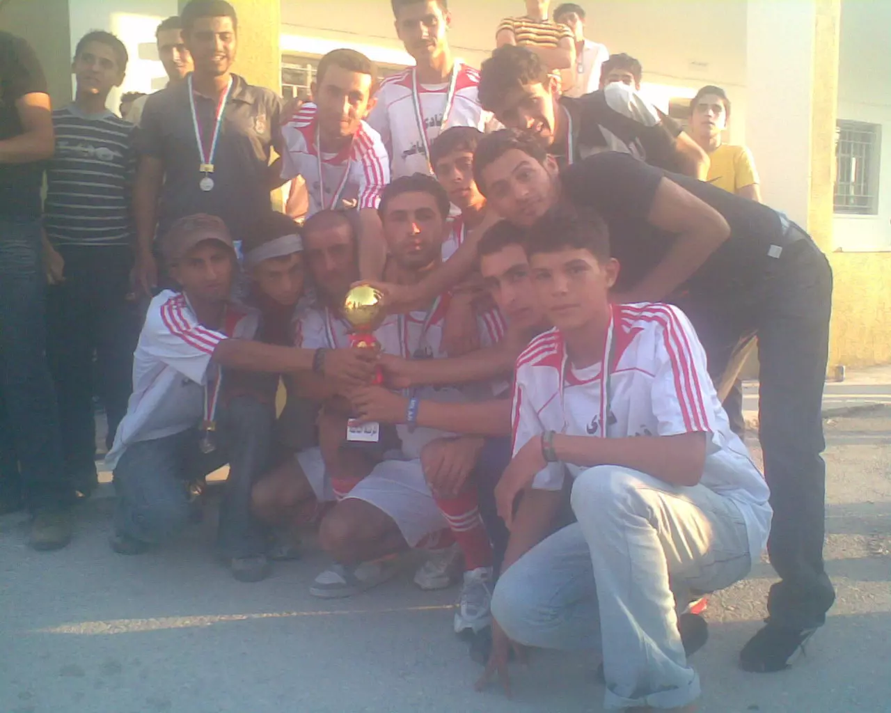
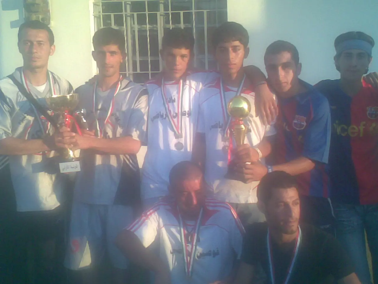
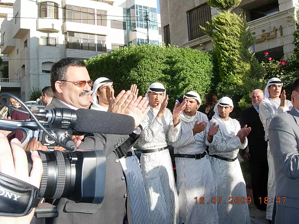
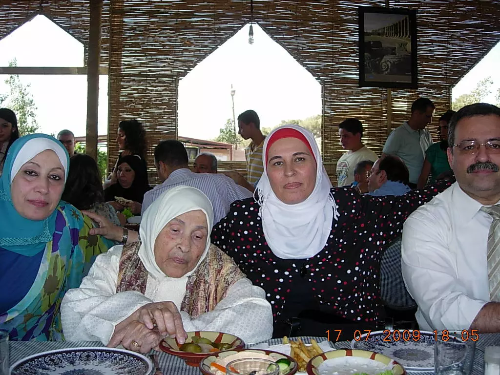
Posted by naser abed - افراح قوصين 2007 تصوير ناصر شحاده العوريفي
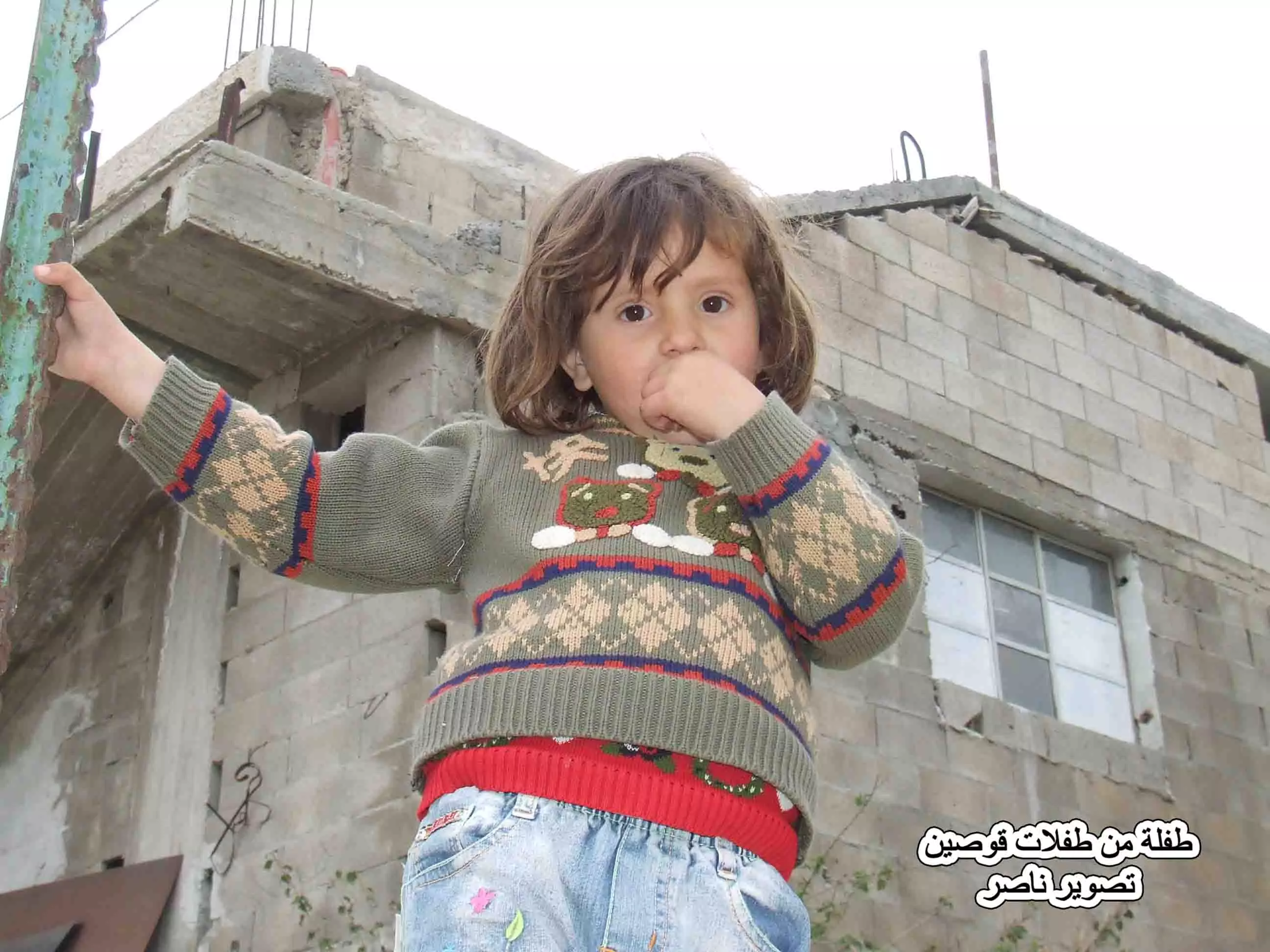
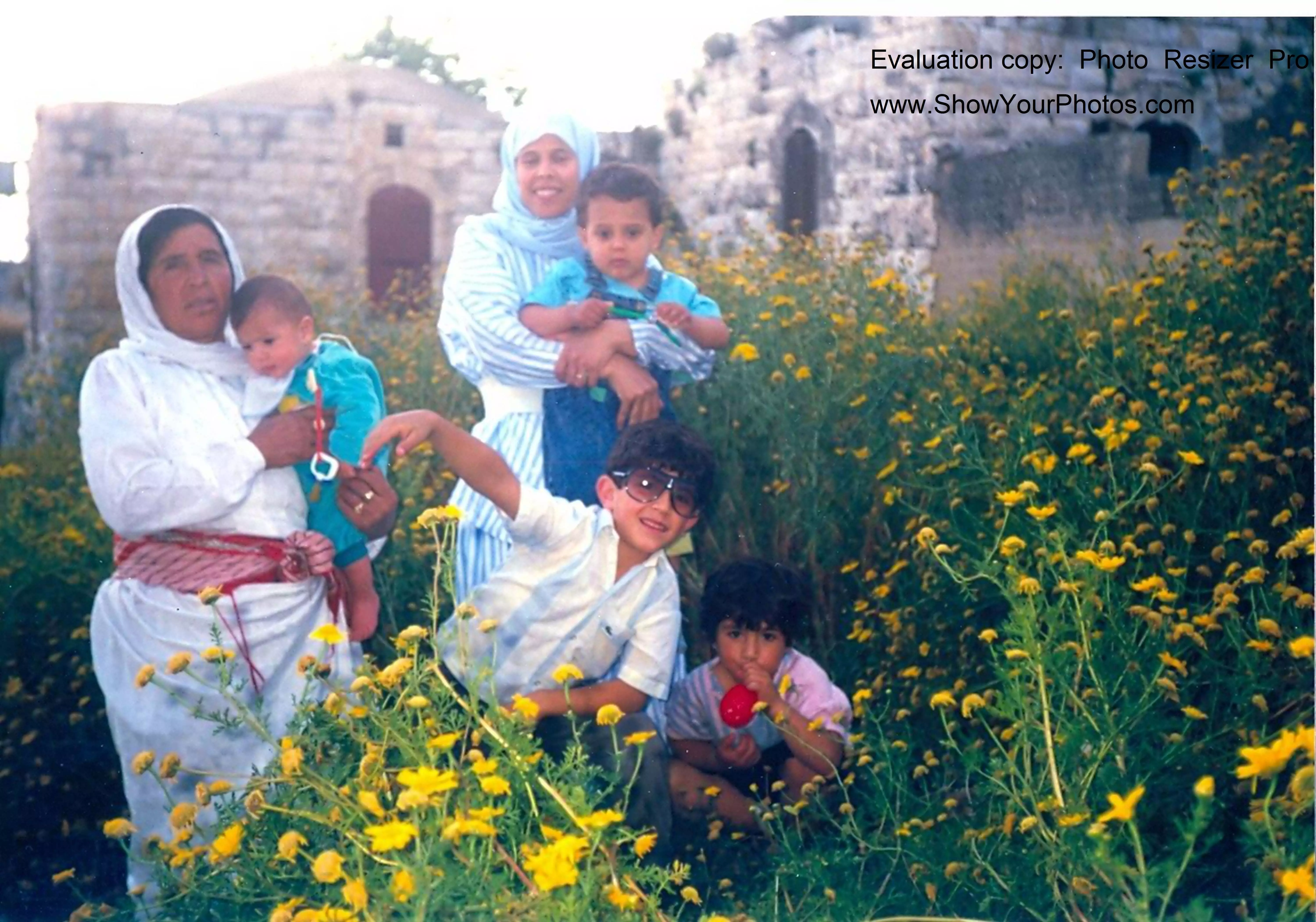
Posted by naser abed - طفلة من طفلات قوصين تصوير ناصر شحاده العوريفي
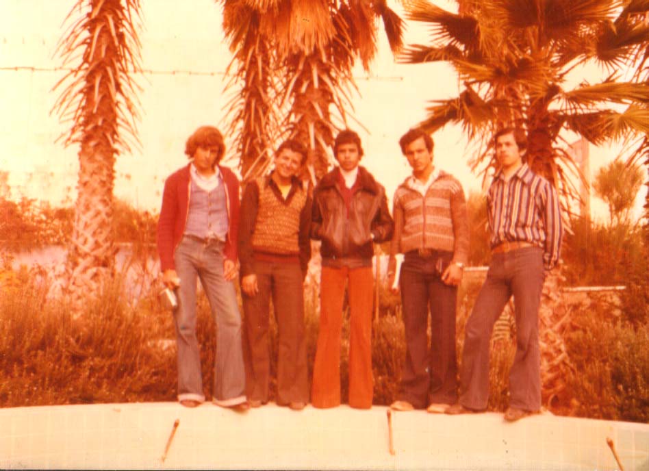
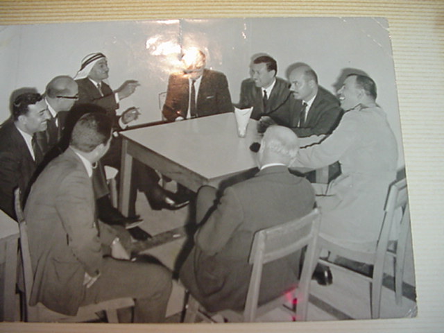
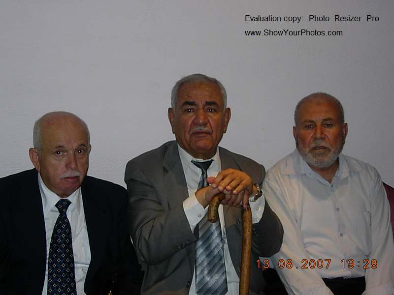
Posted by naser abed - صور تذكارية من قوصين يقدمها غسان
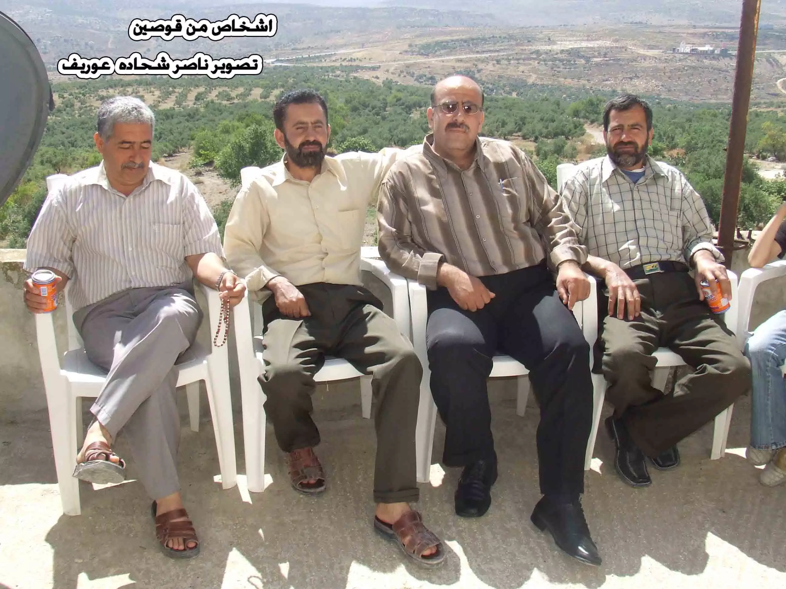
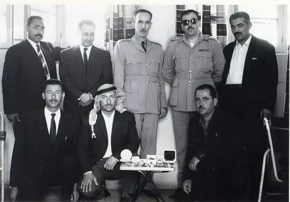
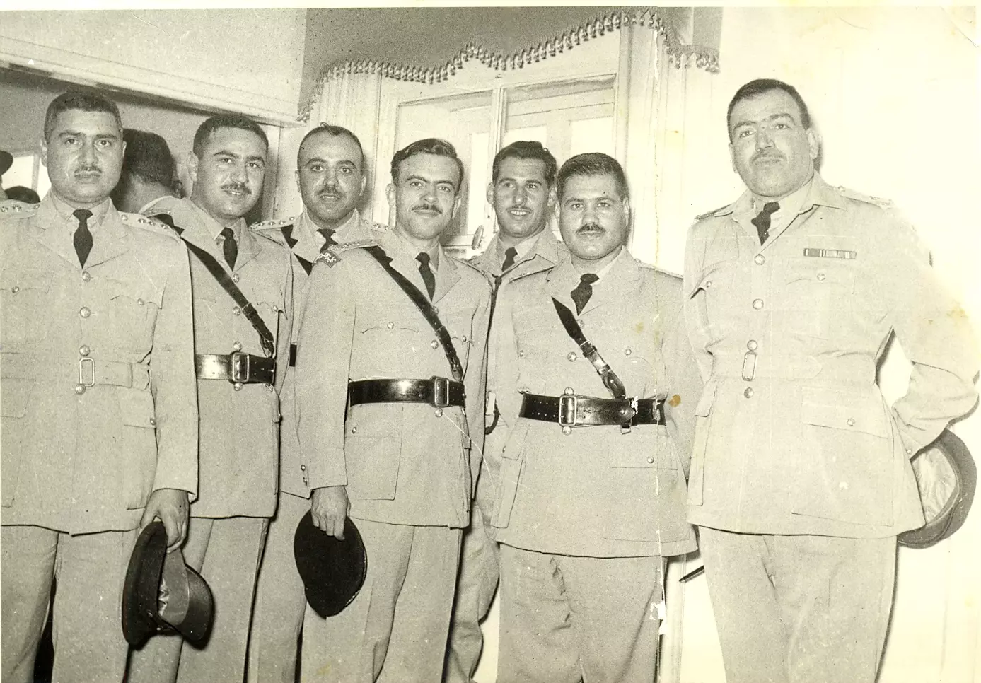
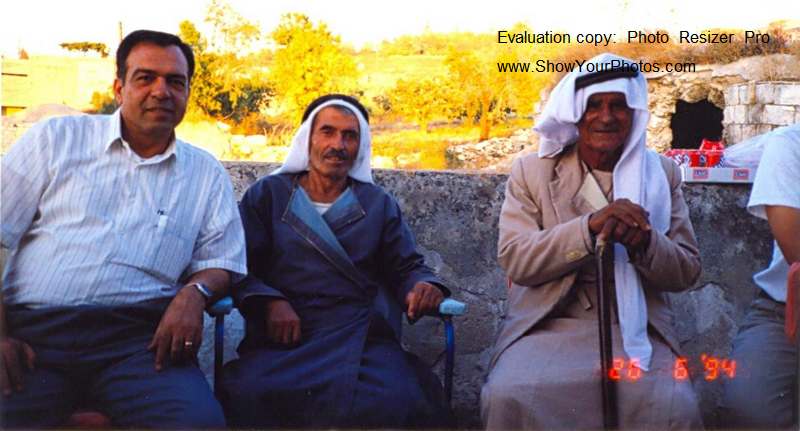
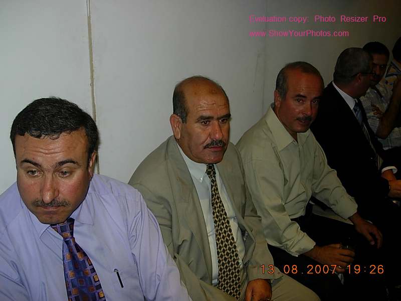
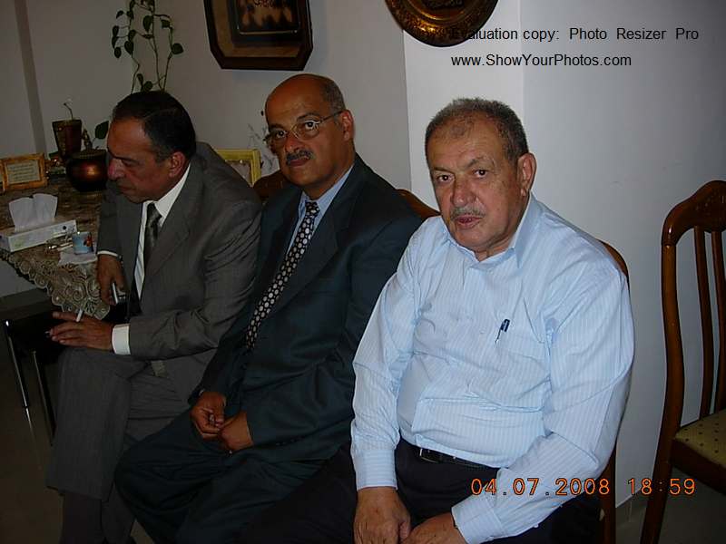
Posted by naser abed - اشخاص من قوصين تصوير ناصر ش
Posted by naser abed - افراح قوصين تصوير ناصر شحاده عوريف 0507559901

Posted by naser abed 1 - افراح قوصين تصوير ناصر شحاده عوريف 0507559901

Posted by naser abed 1 - افراح قوصين تصوير ناصر شحاده عوريف 0507559901

Posted by naser abed - افراح قوصين تصوير ناصر شحاده عوريف 0507559901

Posted by naser abed 1 - The high school
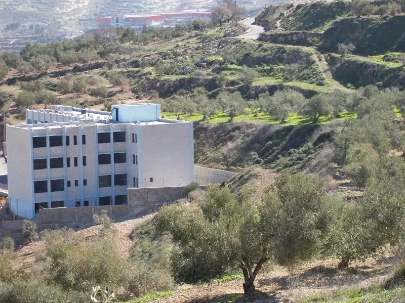
Posted by Zohair alqusiny - the high school # 2
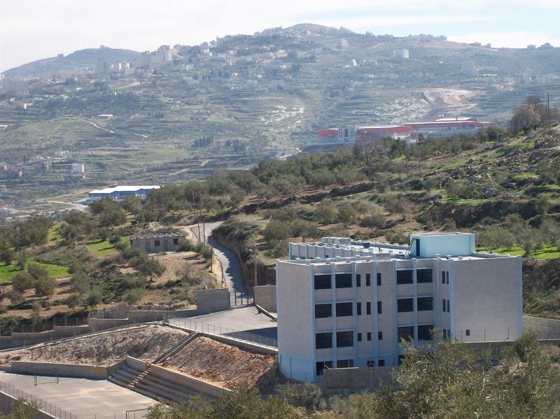
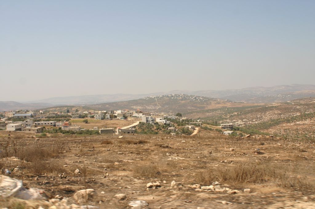
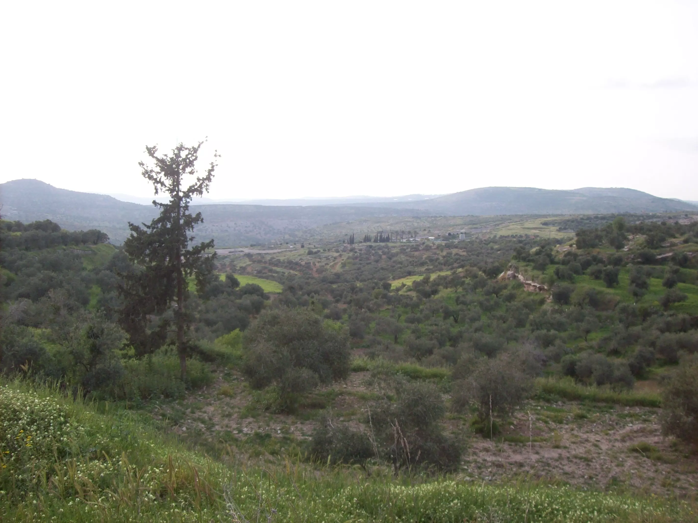
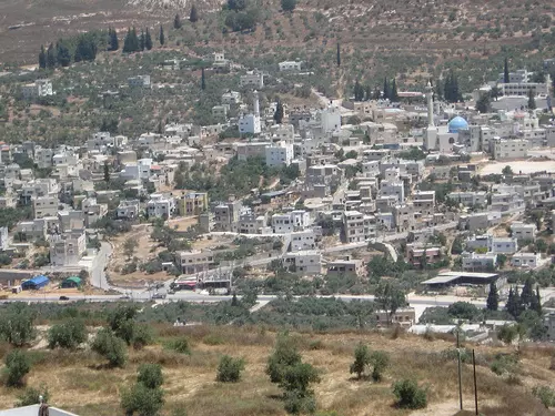
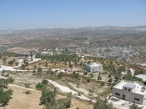
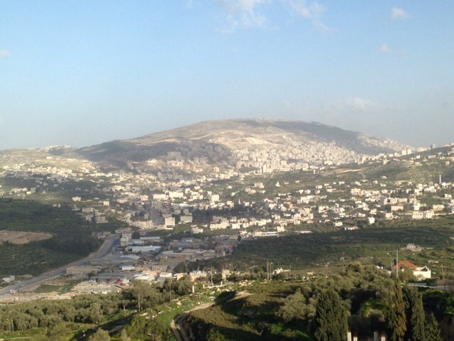
Posted by Zohair alqusiny - General view
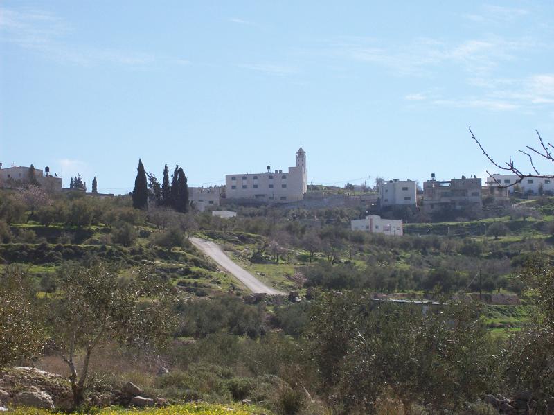
Posted by Zohair alqusiny - General view
Posted by Zohair alqusiny - View from Sarra
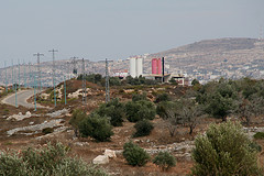
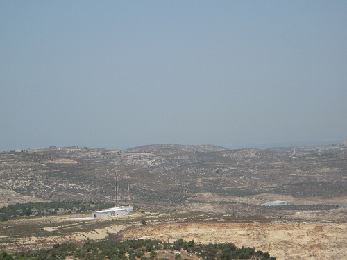
Posted by Zohair alqusiny - Israeli chemical factory in Qusin
Posted by Zohair alqusiny - العشارة
Posted by الزعيم 1 - العشارة
Posted by الزعيم - عرق التل
Posted by الزعيم - عرق التل
Posted by الزعيم - عرق التل
Posted by الزعيم - عرق التل
Posted by الزعيم - عرق التل

Posted by الزعيم - عرق التل
Posted by الزعيم - عرق التل
Posted by الزعيم 1 - في ربوع قوصين
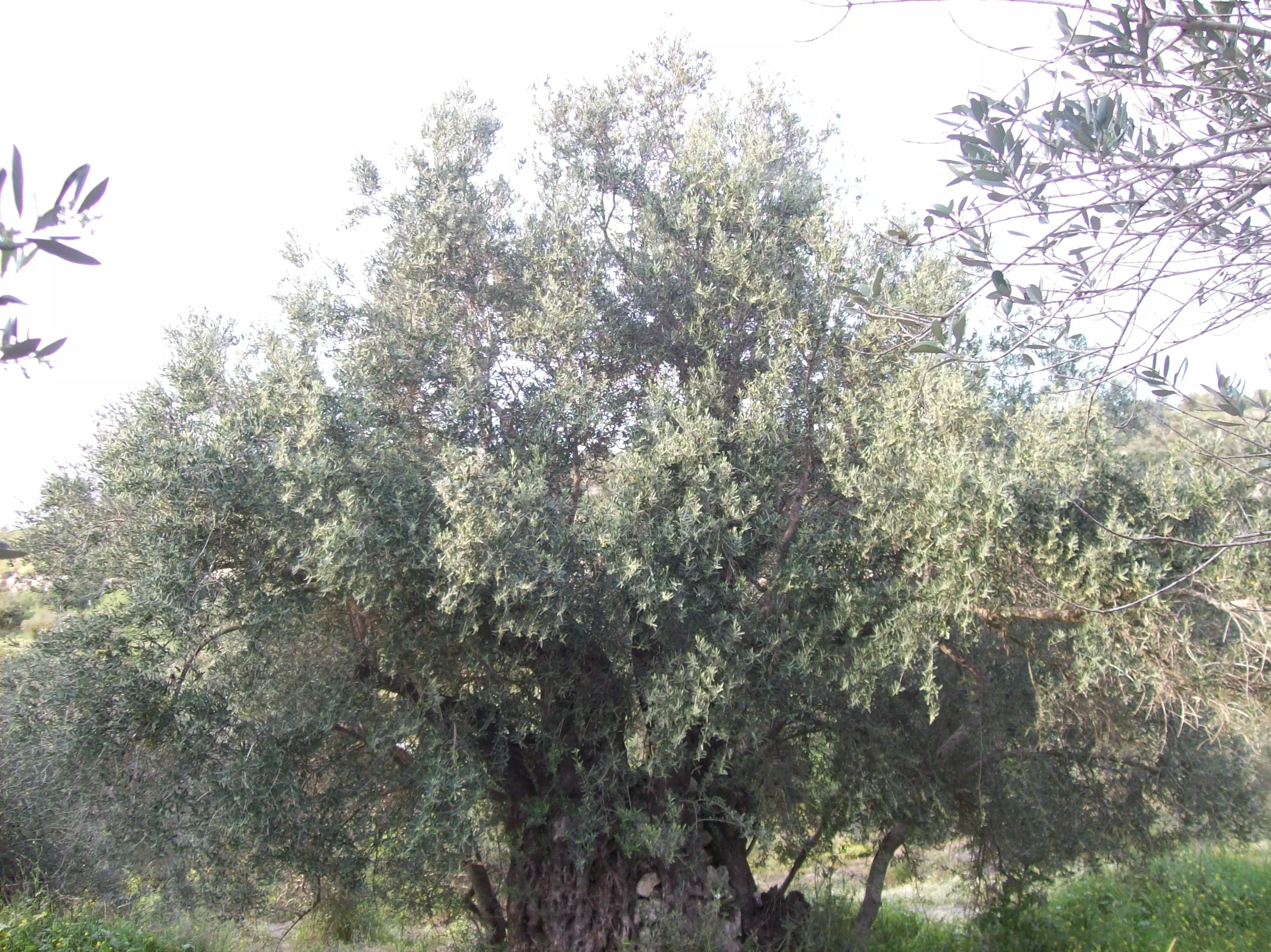
Posted by فلسطينية - اكبر شجرة زيتون في قوصين
Posted by فلسطينية - غابات الزيتون في قوصين

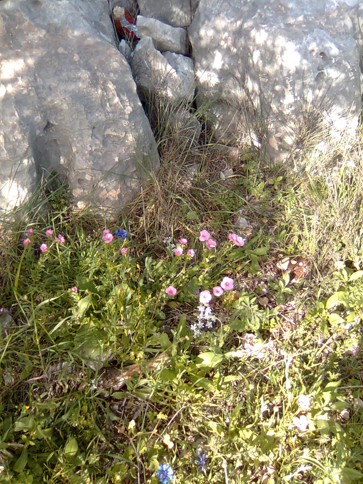
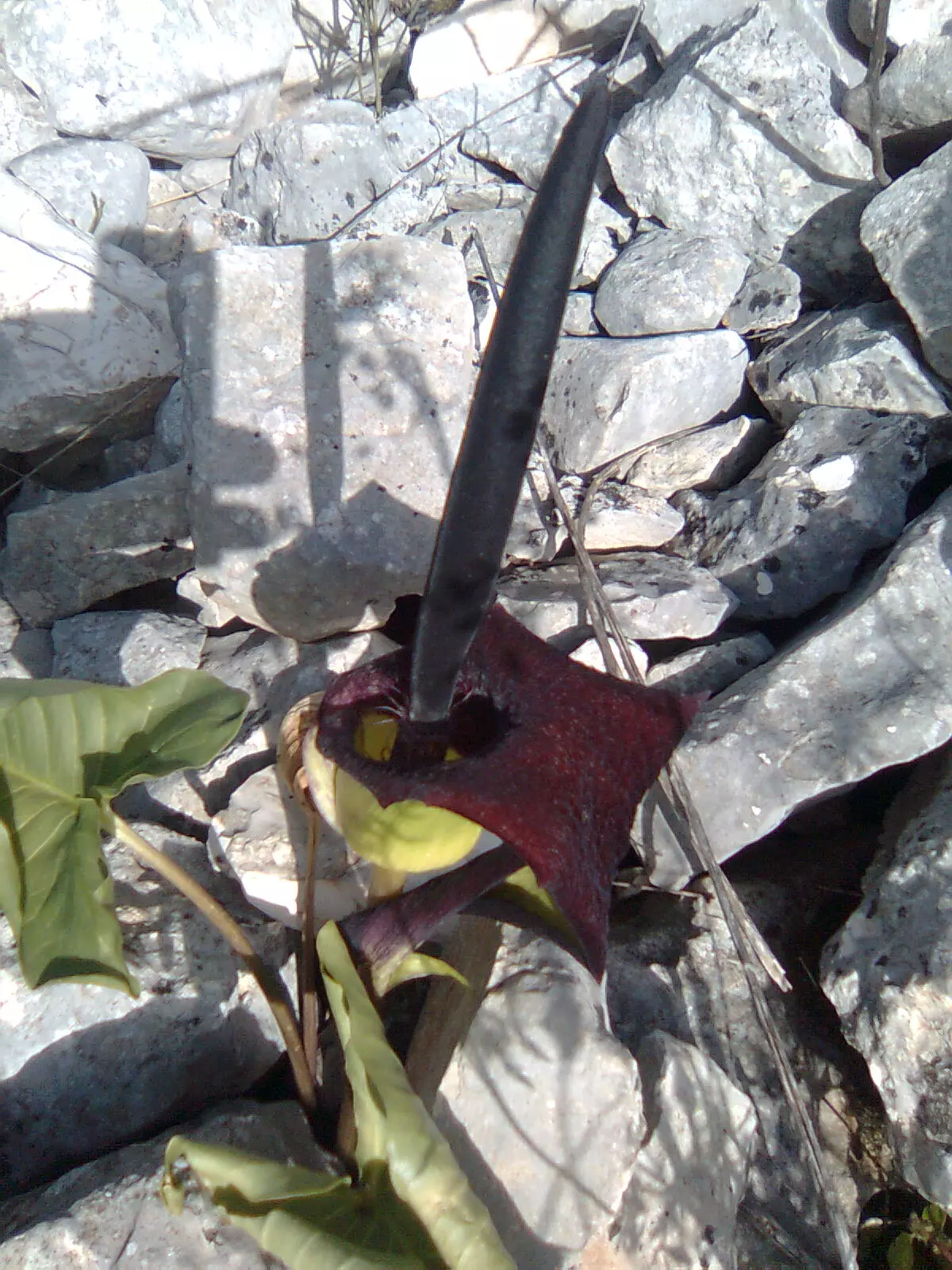
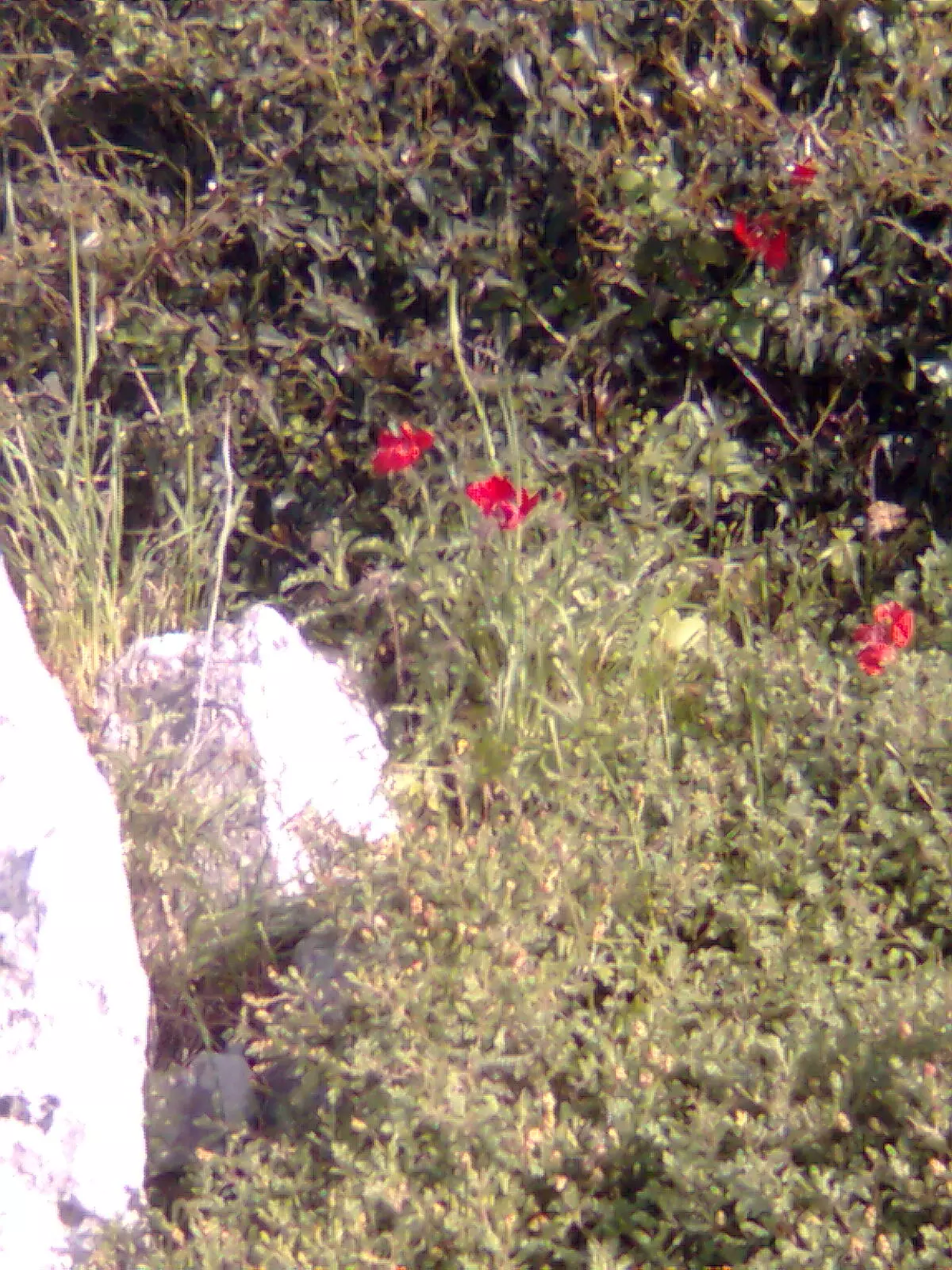
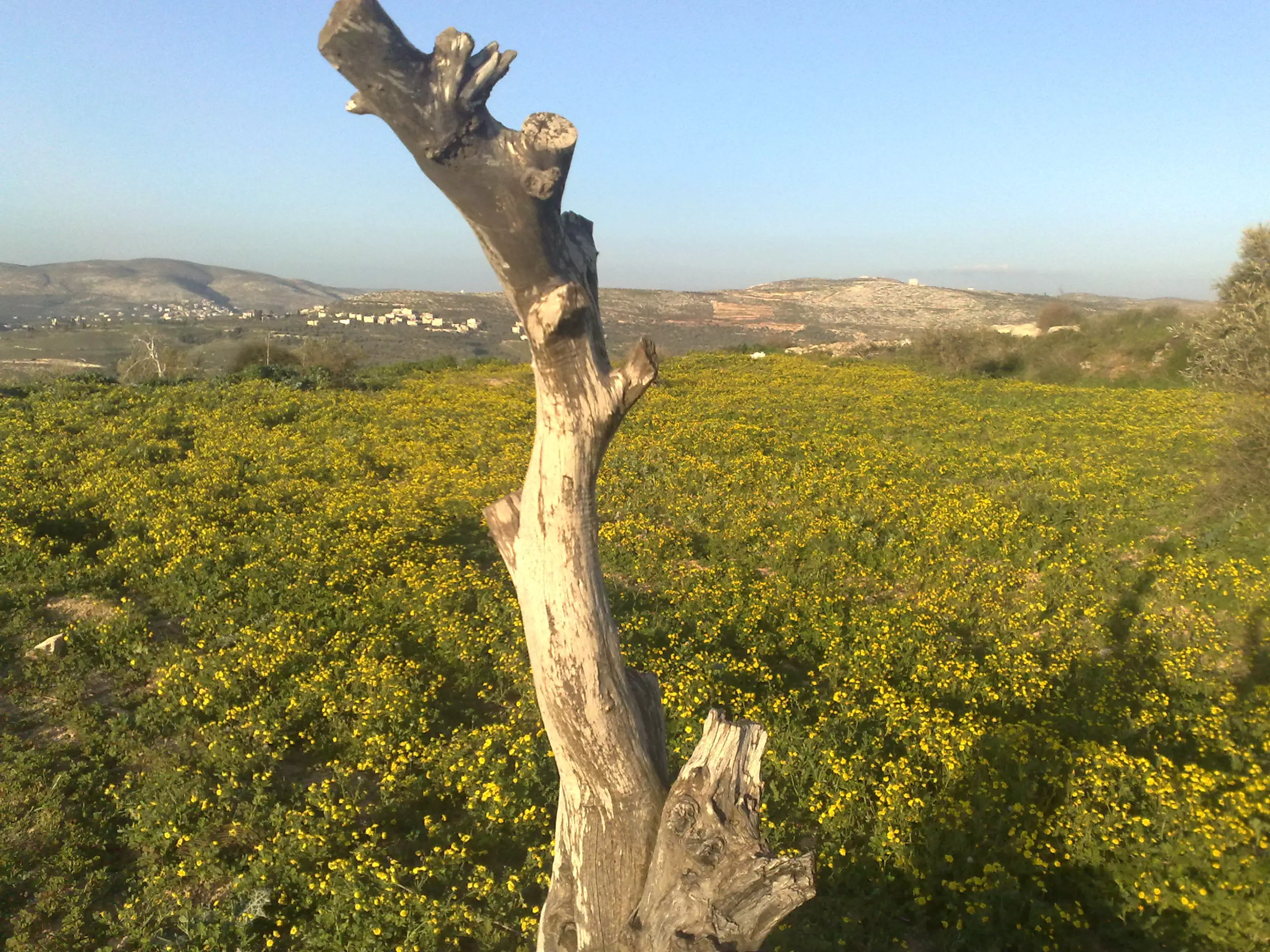
Posted by فلسطينية - ورد الجوري -قوصين-

Posted by فلسطينية - غروب الشمس من قوصين
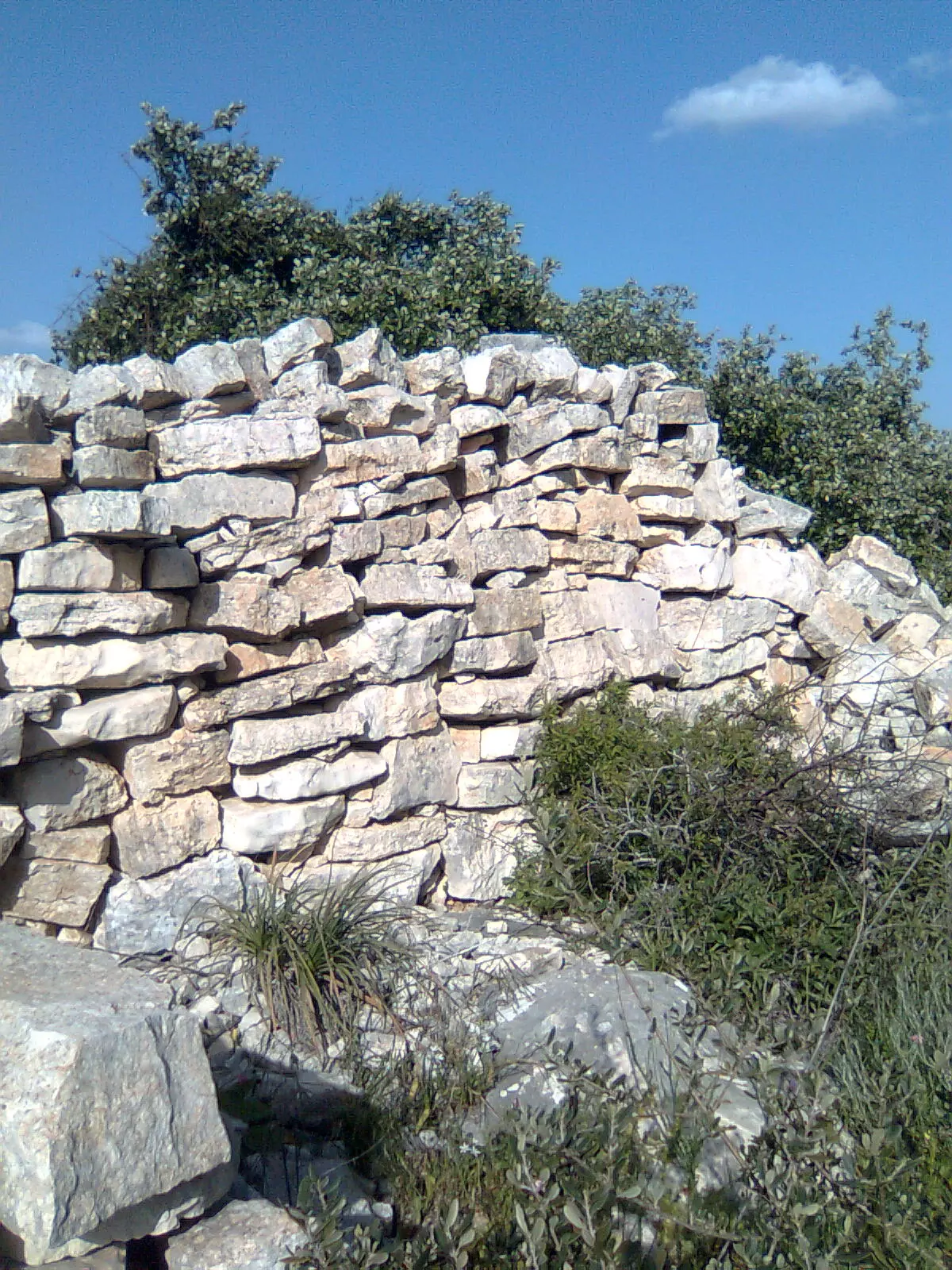
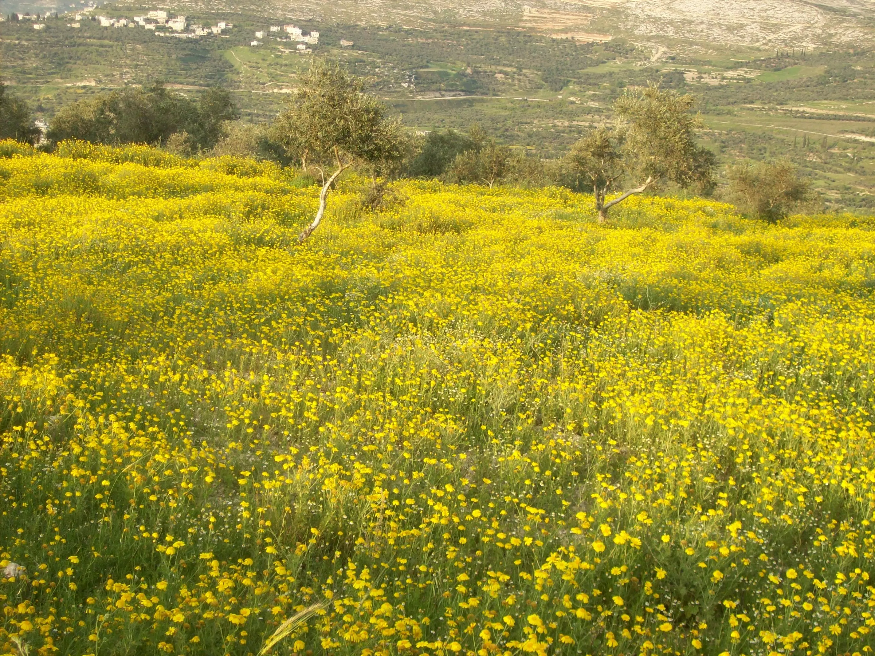
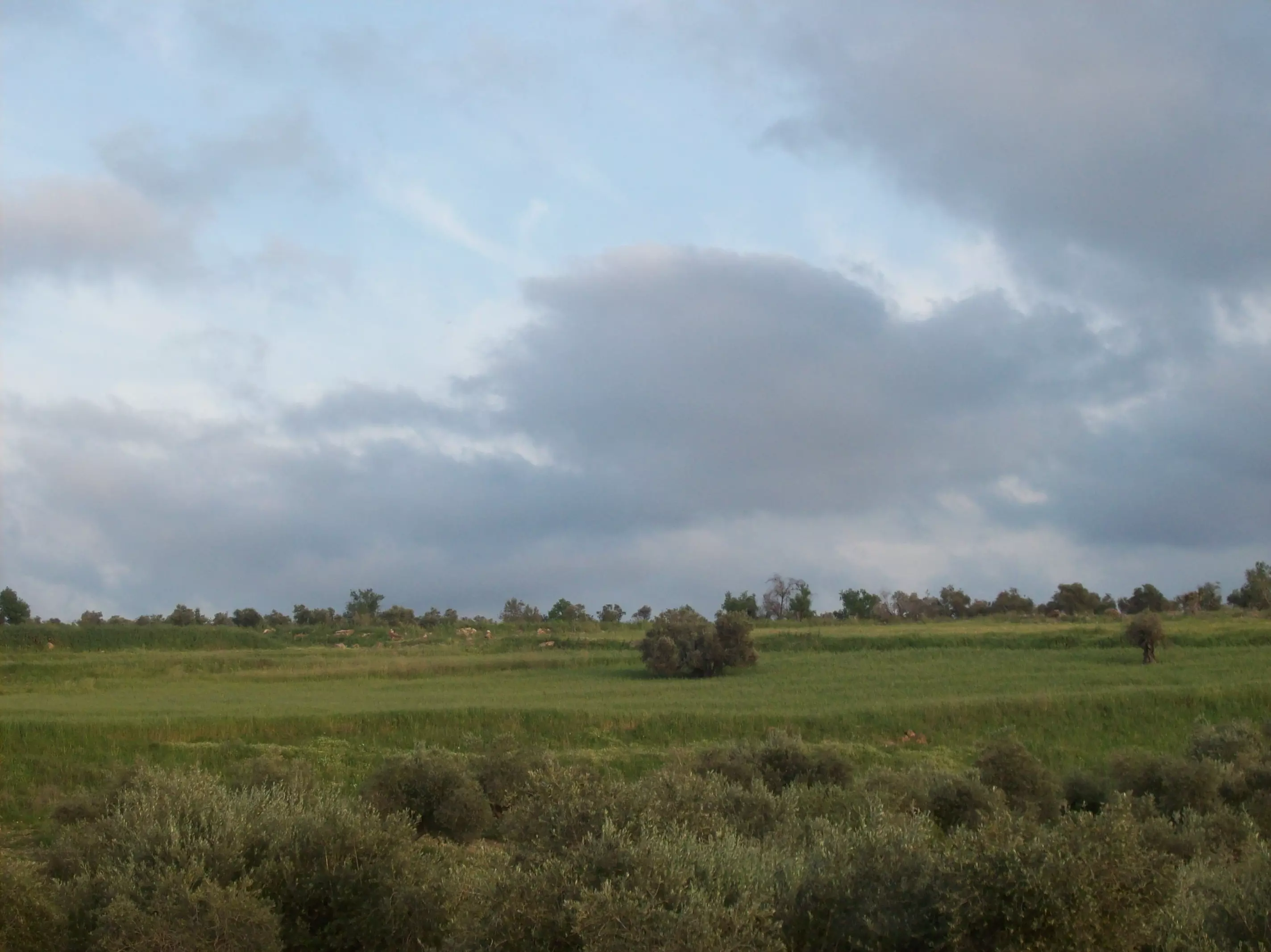
Posted by فلسطينية - منظر الحقول في قوصين
Posted by فلسطينية - في ربوع قوصين
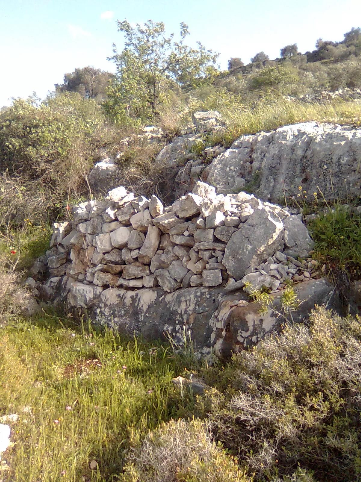
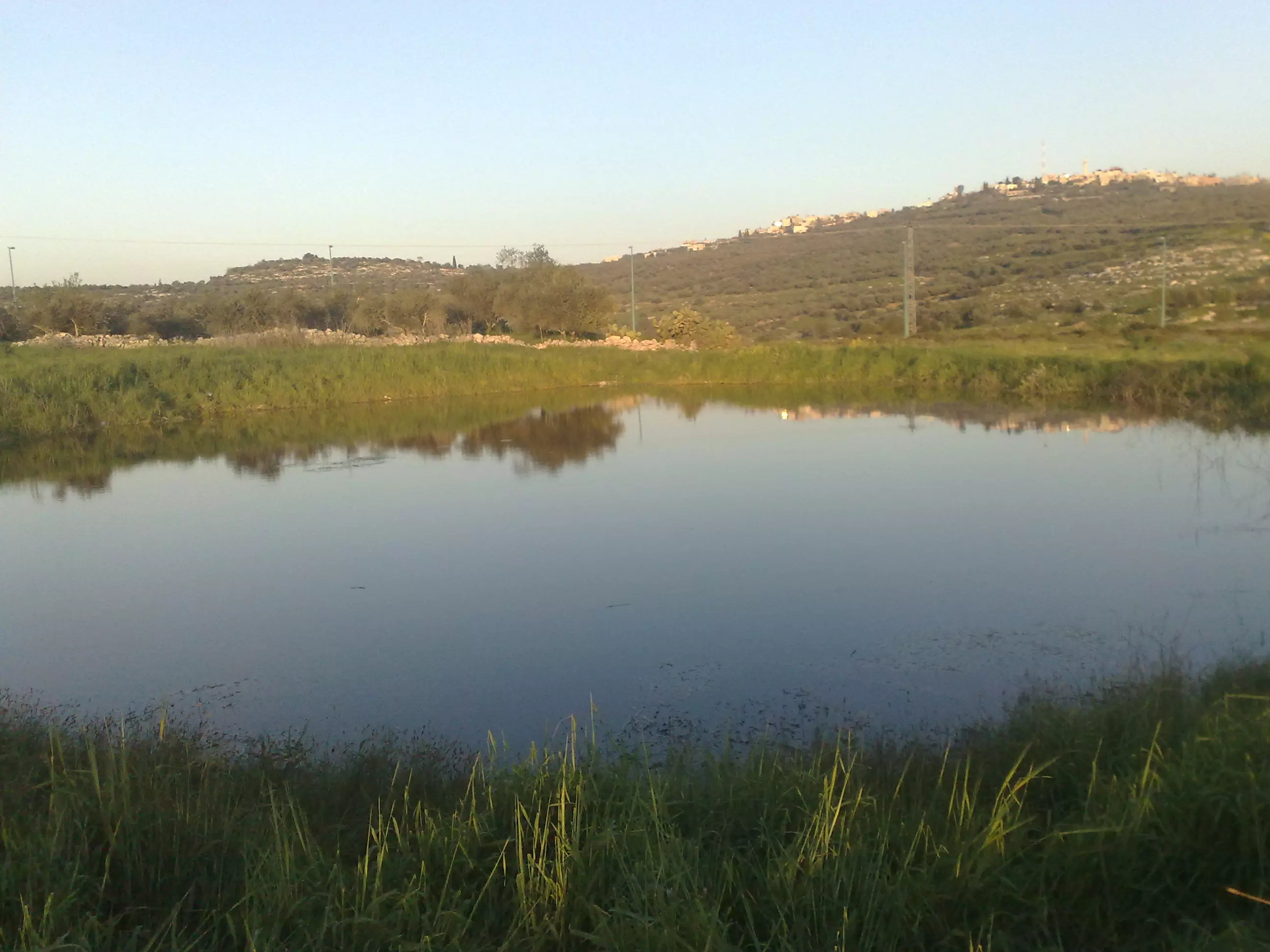
Posted by فلسطينية - عين الماء (البركة) قوصين
Posted by فلسطينية - في ربوع قوصين
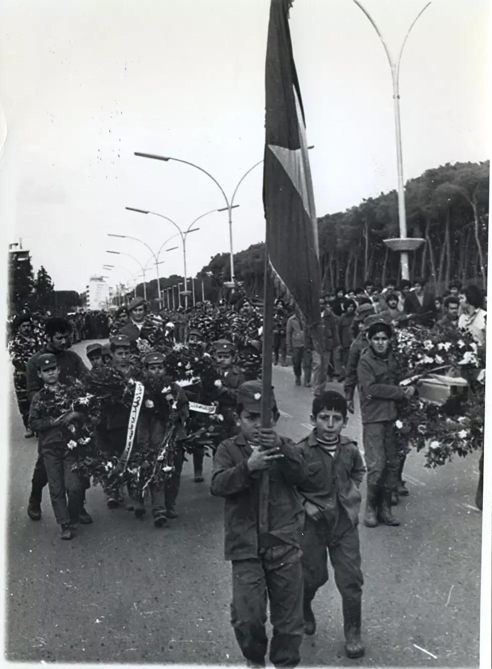
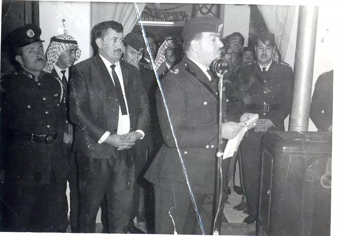
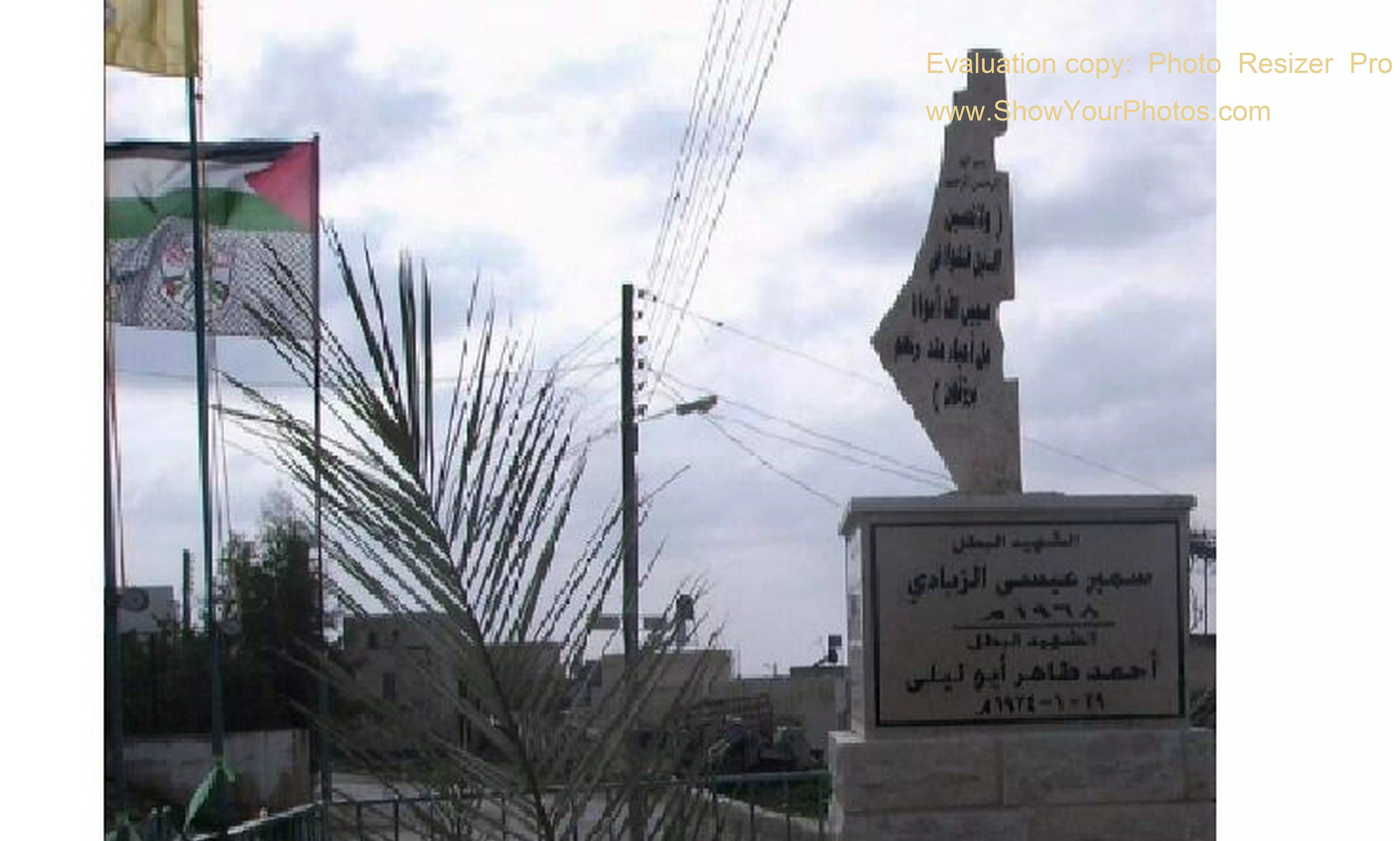
Posted by فلسطينية - جنازة الشهيد ابو وائل
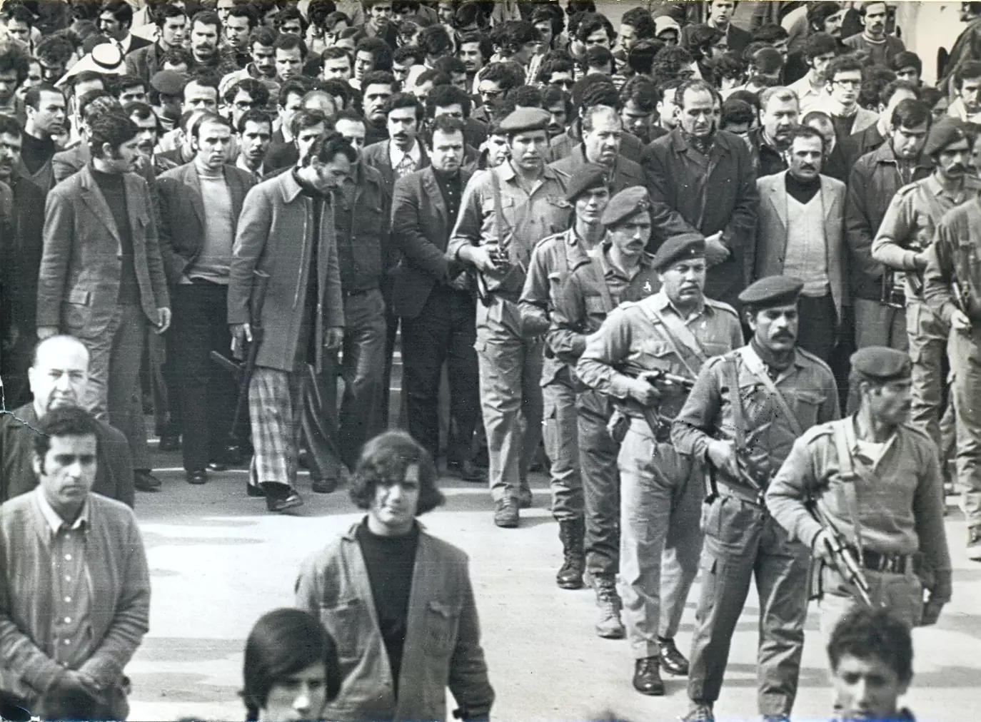
Posted by ابوليلى 1 - جنازة الشهيد البطل ابووائل
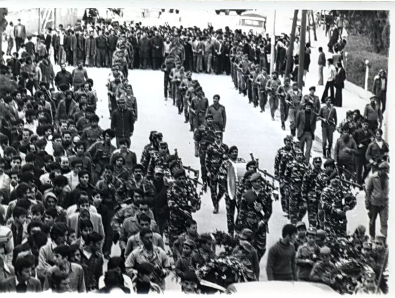
Posted by ابوليلى - جنازة الشهيد البطل ابووائل "احمدابوليلى"
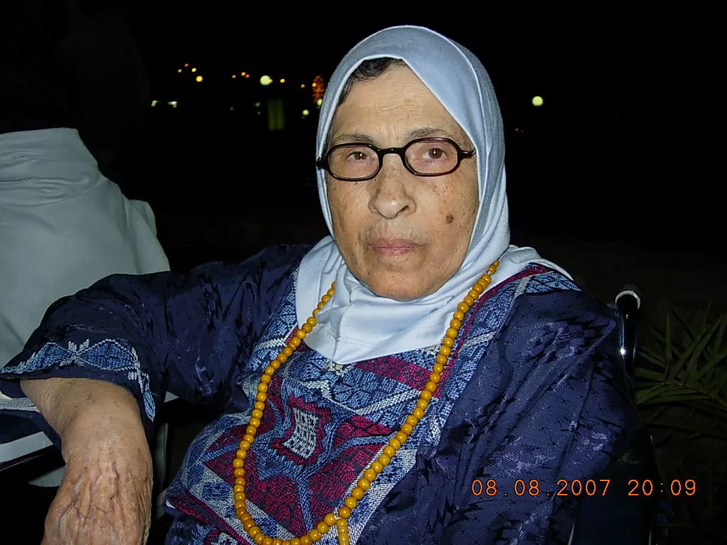
Posted by ابوليلى - الحاجة المرحومة ام علي والدة الشهيد البطل ابووائل "احمدابوليلى"

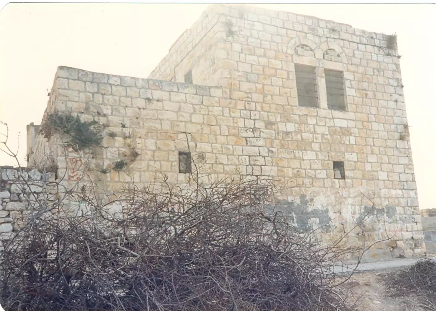
Posted by ابوليلى - منزل المرحومين باذن الله الاخوان طاهر وراغب ابو ليلى في قوصين
Posted by ابوليلى - الحاجة ام وائل
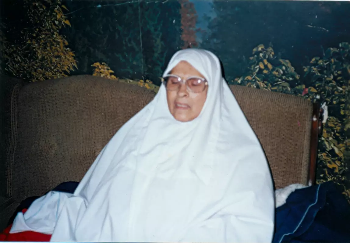
Posted by ابوليلى - والدة الشهيد احمدابوليلى "ابو وائل" المرحمومة ام علـــــــــــــي
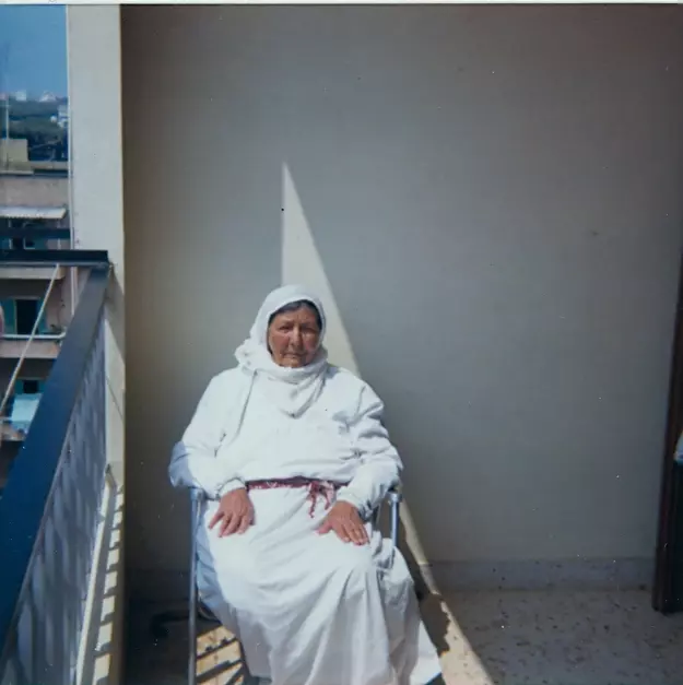
Posted by ابوليلى - الحاجة ام وائل ارملة الشهيد احمدابوليلى"ابووائل"
Posted by ابوليلى - افراح ال ابـــــــوليلـــــــــى من عرس احمد وائل ابوليلى
Posted by ابوليلى - افراح ال ابـــــــوليلـــــــــى من عرس احمد وائل ابوليلى

Posted by ابوليلى - افراح ال ابـــــــوليلـــــــــى من عرس احمد وائل ابوليلى
Posted by ابوليلى - افراح ال ابـــــــوليلـــــــــى من عرس احمد وائل ابوليلى
Posted by ابوليلى - افراح ال ابـــــــوليلـــــــــى من عرس احمد وائل ابوليلى
Posted by ابوليلى - افراح ال ابـــــــوليلـــــــــى من عرس احمد وائل ابوليلى
Posted by ابوليلى - افراح ال ابـــــــوليلـــــــــى من عرس احمد وائل ابوليلى
Posted by ابوليلى - افراح ال ابـــــــوليلـــــــــى من عرس احمد وائل ابوليلى
Posted by ابوليلى - افراح ال ابـــــــوليلـــــــــى من عرس احمد وائل ابوليلى
Posted by ابوليلى - افراح ال ابـــــــوليلـــــــــى من عرس احمد وائل ابوليلى

Posted by ابوليلى - افراح ال ابـــــــوليلـــــــــى من عرس احمد وائل ابوليلى
Posted by ابوليلى - افراح ال ابـــــــوليلـــــــــى من عرس احمد وائل ابوليلى
Posted by ابوليلى - افراح ال ابـــــــوليلـــــــــى من عرس احمد وائل ابوليلى

Posted by ابوليلى - افراح ال ابـــــــوليلـــــــــى من عرس احمد وائل ابوليلى
Posted by ابوليلى - افراح ال ابـــــــوليلـــــــــى من عرس احمد وائل ابوليلى

Posted by ابوليلى - افراح ال ابـــــــوليلـــــــــى من عرس احمد وائل ابوليلى
Posted by ابوليلى - افراح ال ابـــــــوليلـــــــــى من عرس احمد وائل ابوليلى

Posted by ابوليلى - افراح ال ابـــــــوليلـــــــــى من عرس احمد وائل ابوليلى
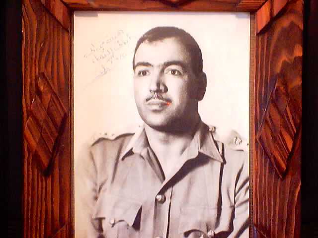
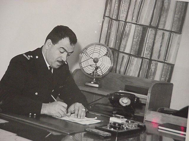
Posted by ابوليلى - من صور الشهيد البطل احمد ابو ليلى "ابو وائل"
Posted by ابوليلى - من صور الشهيد البطل احمد ابو ليلى "ابو وائل"
Posted by ابوليلى - من صور الشهيد البطل احمد ابو ليلى "ابو وائل
Posted by ابوليلى - من صور الشهيد البطل احمد ابو ليلى "ابو وائل
Posted by ابوليلى - من صور الشهيد البطل احمد ابو ليلى "ابو وائل

Posted by ابوليلى - من صور الشهيد البطل احمد ابو ليلى "ابو وائل

Posted by ابوليلى - من صور الشهيد البطل احمد ابو ليلى "ابو وائل
Posted by ابوليلى - من صور الشهيد البطل احمد ابو ليلى "ابو وائل
Posted by ابوليلى - من صور الشهيد البطل احمد ابو ليلى "ابو وائل

Posted by ابوليلى - من صور الشهيد البطل احمد ابو ليلى "ابو وائل
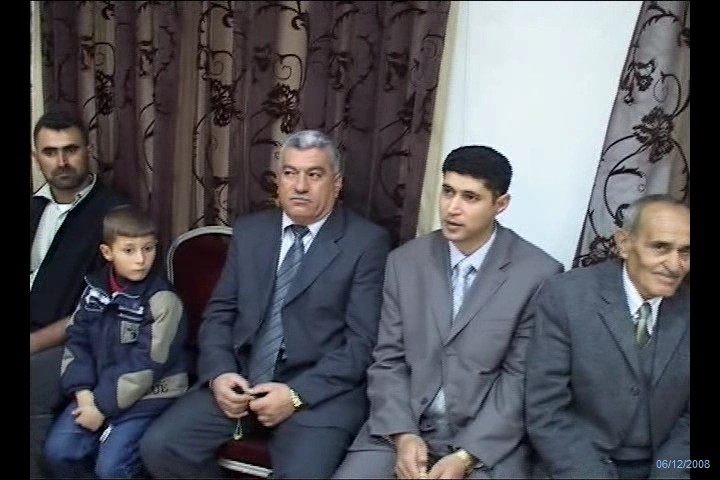
Posted by ابوليلى - من افراح ال ابو ليلى
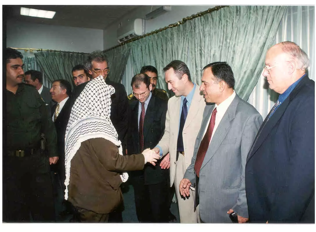
Posted by ابوليلى - المهندس وائل احمد ابو ليلى مع الشهيد الخالد ابو عمار

Posted by ابوليلى - المهندس وائل احمد ابو ليلى مع الشهيد الخالد ابو عمار
Posted by ابوليلى - صور من قوصين
Posted by ابوليلى - صور من قوصين
Posted by ابوليلى - صور من قوصين

Posted by ابوليلى - صور من قوصين

Posted by ابوليلى - صور من قوصين
Posted by ابوليلى - صور من قوصين
Posted by ابوليلى - صور من قوصين

Posted by ابوليلى - صور من قوصين
Posted by ابوليلى - صور من افراح ال ابو ليلى
Posted by ابوليلى - صور من افراح ال ابو ليلى
Posted by ابوليلى 1 - صور من افراح ال ابو ليلى
Posted by ابوليلى - صور من افراح ال ابو ليلى
Posted by ابوليلى - من قوصين صورة لكتاب للشهيد احمد ابو ليلى
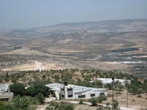
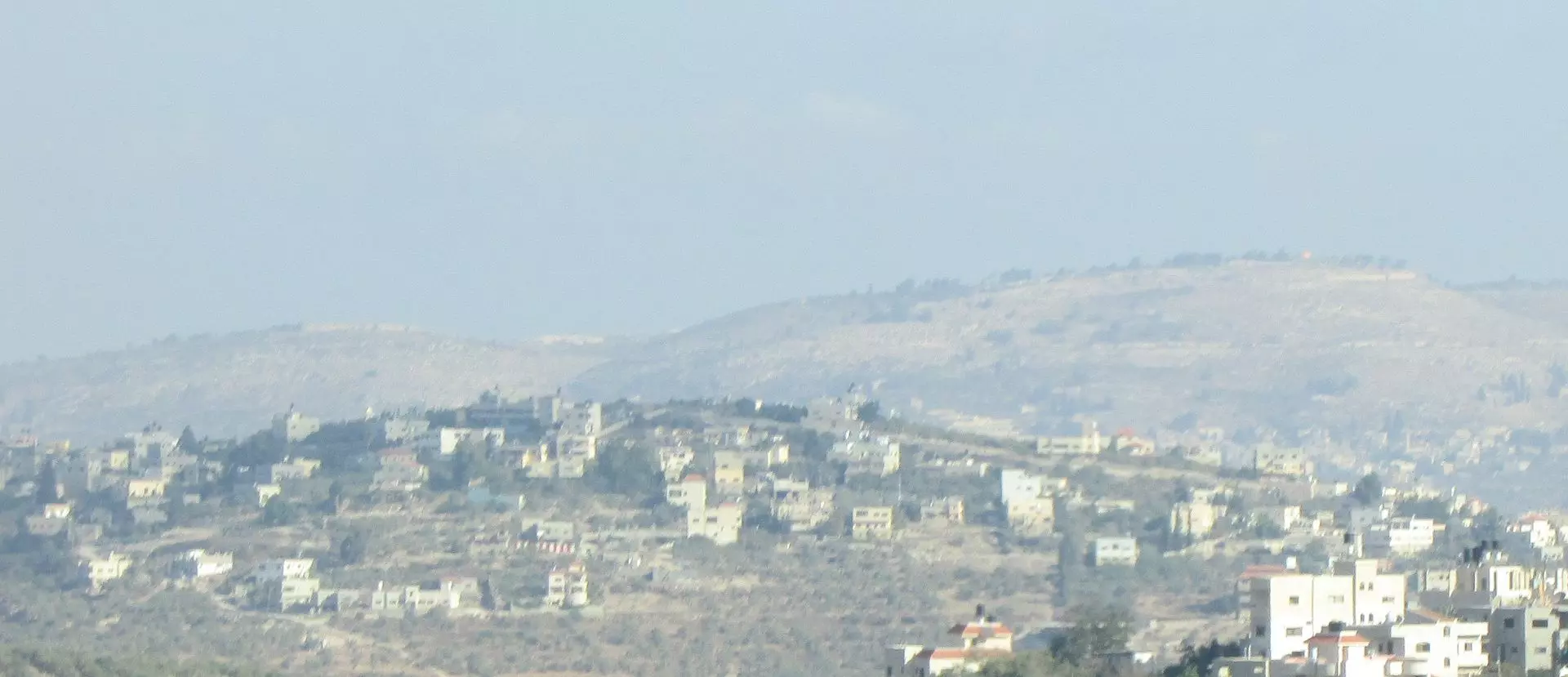
Posted by ابوليلى - View of Qusin from the east
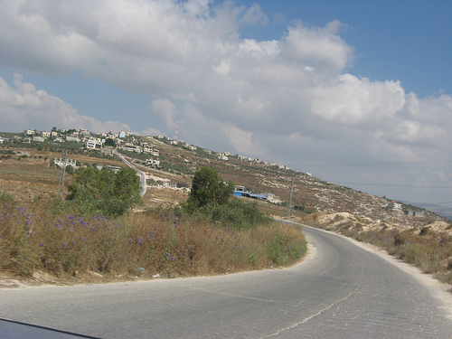
Posted by Zohair alqusiny - View of Qusin from the west
Posted by Zohair alqusiny - View of the east from Qusin
Posted by Zohair alqusiny - View of Qusin from the east
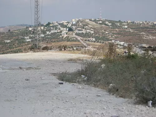
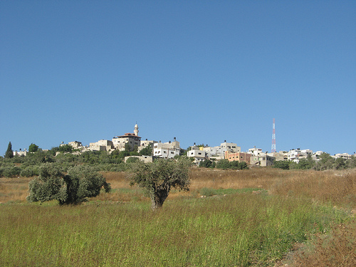
Posted by Zohair alqusiny - View of the north from Qusin (Dair Sharaf)
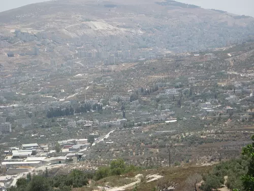
Posted by Zohair alqusiny - View of Nablus from Qusin
Posted by Zohair alqusiny - View of the northwest from qusin
Posted by Zohair alqusiny - View of the northwest from Qusin (Dair Sharaf)
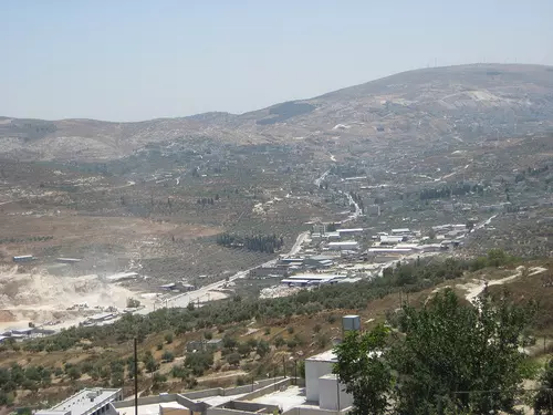
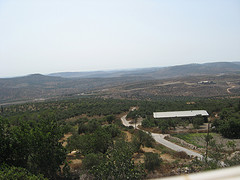
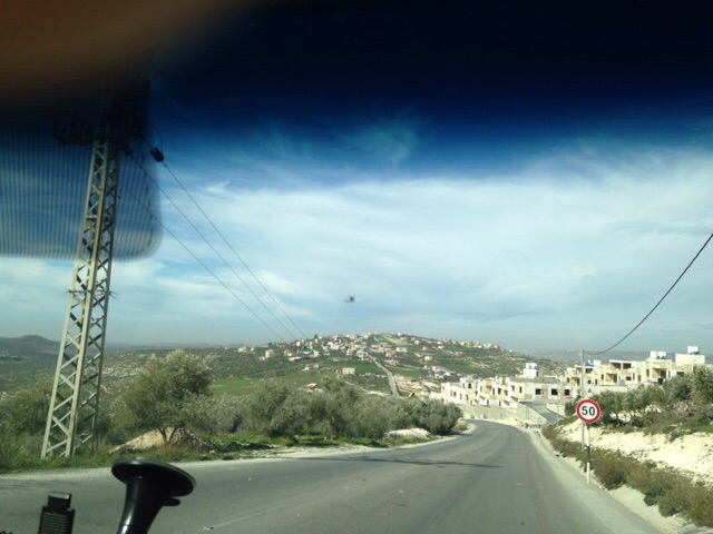
Posted by Zohair alqusiny - view from qusin looking west (summer visit 2009)
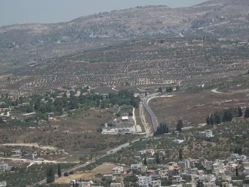
Posted by Zohair alqusiny - view from qusin looking west (summer visit 2009) .You can see Nablus/Tulkarem road
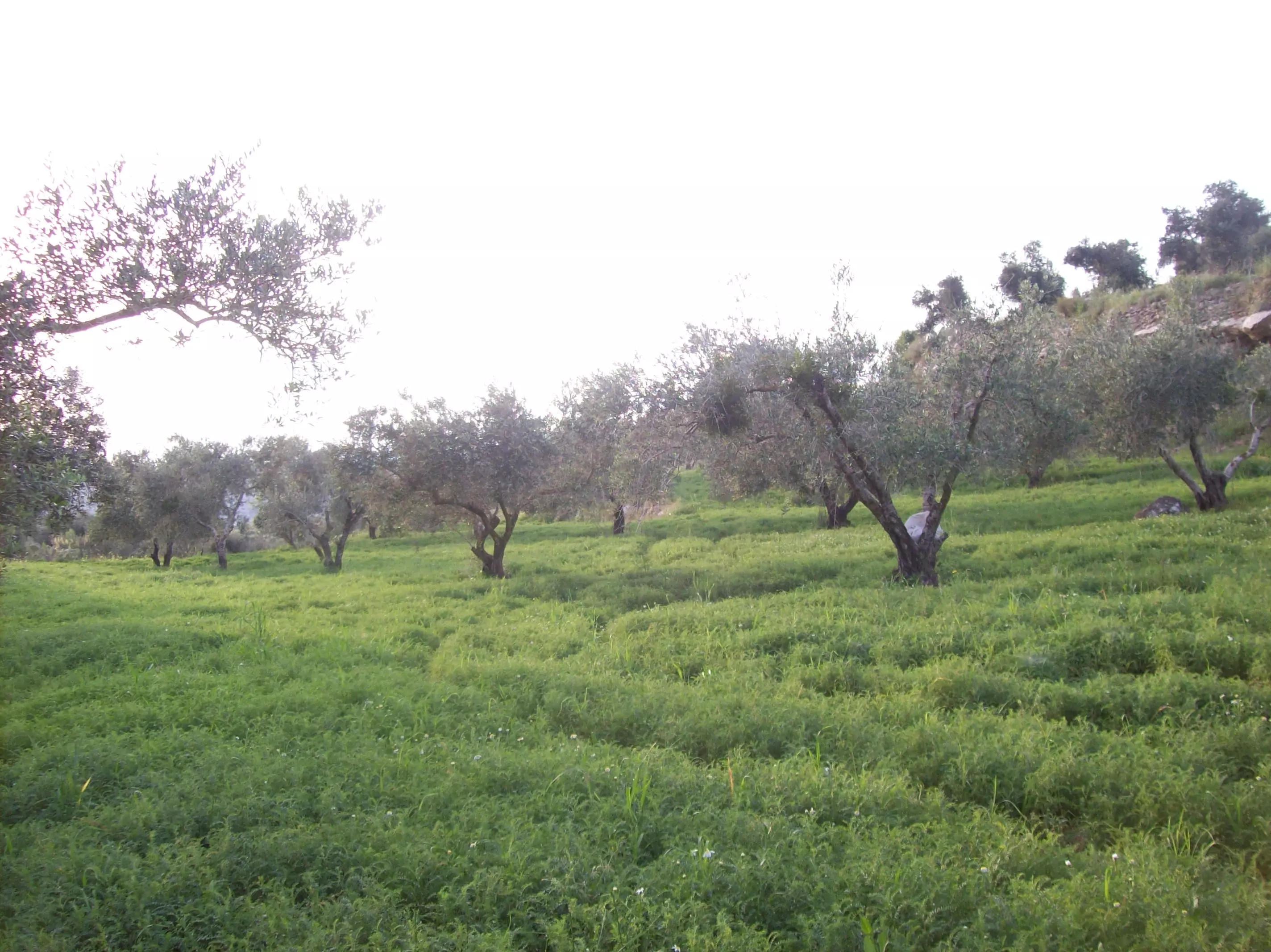
Posted by Zohair alqusiny - Qusin (olive trees in the west side, 2009 visit)
Posted by Zohair alqusiny - ربيع قوصين 2012
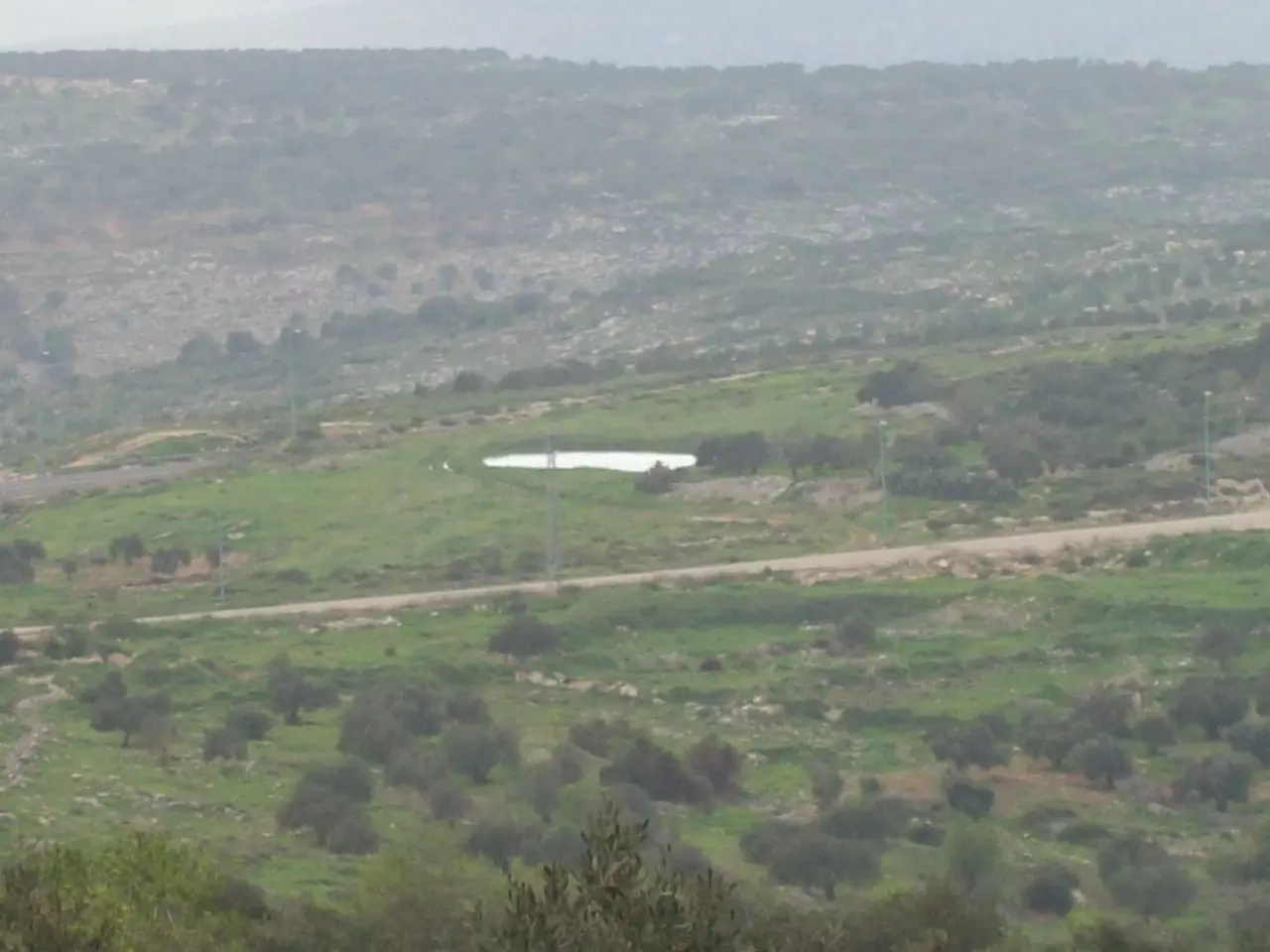
Posted by فلسطينية - البركة قوصين 2012
Posted by فلسطينية - البركة قوصين 2012
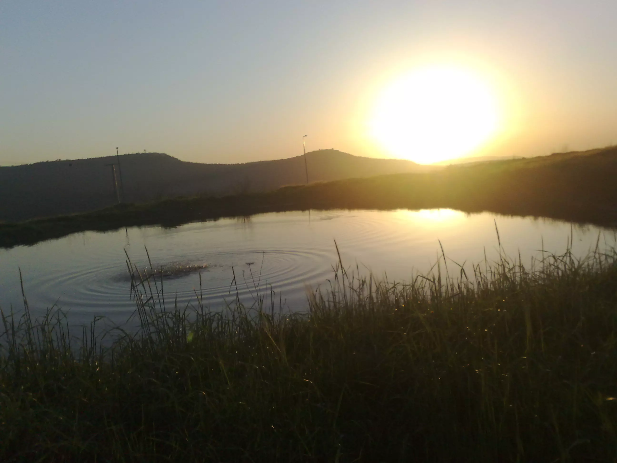
Posted by فلسطينية - البركة قوصين 2012
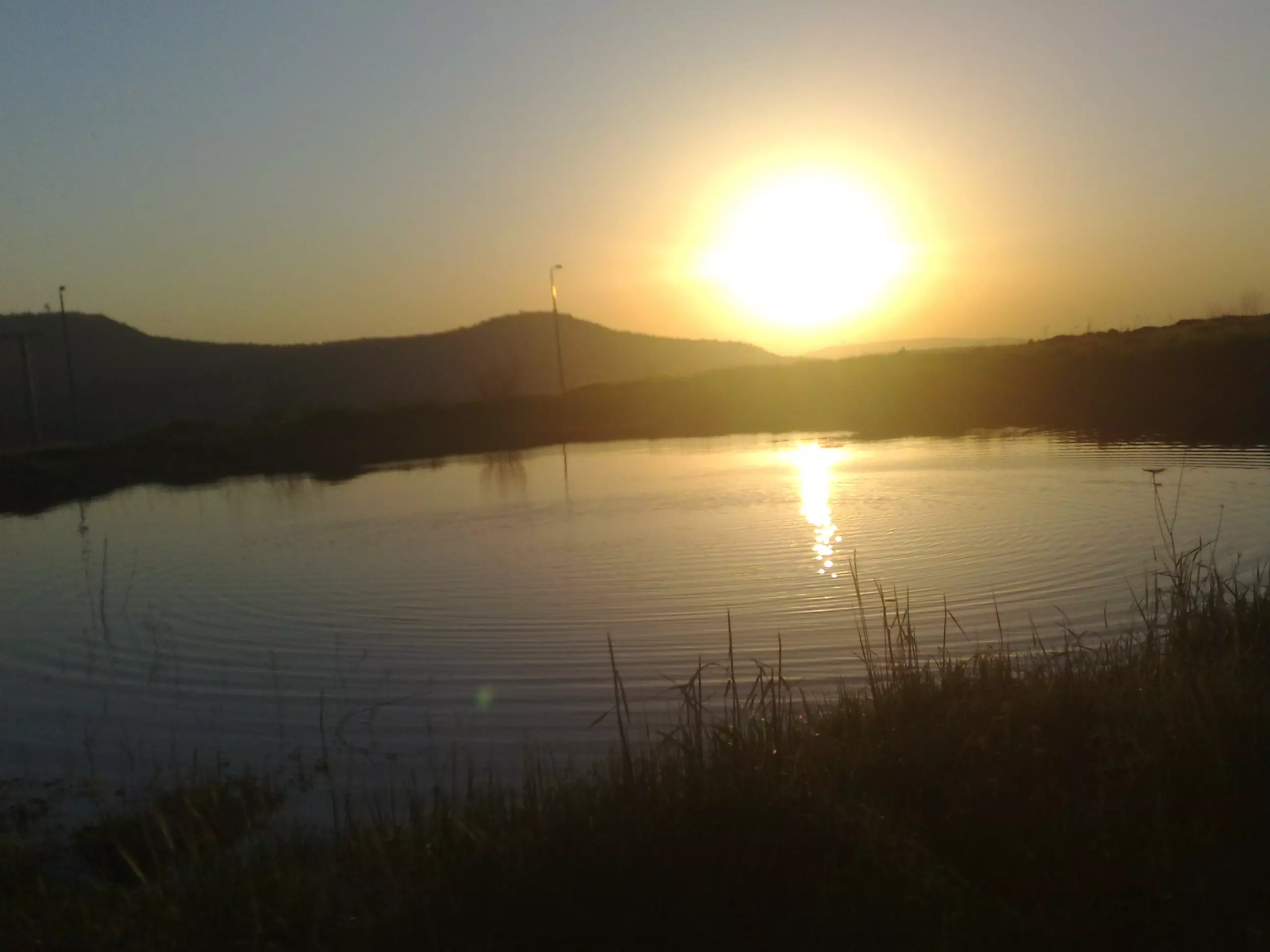
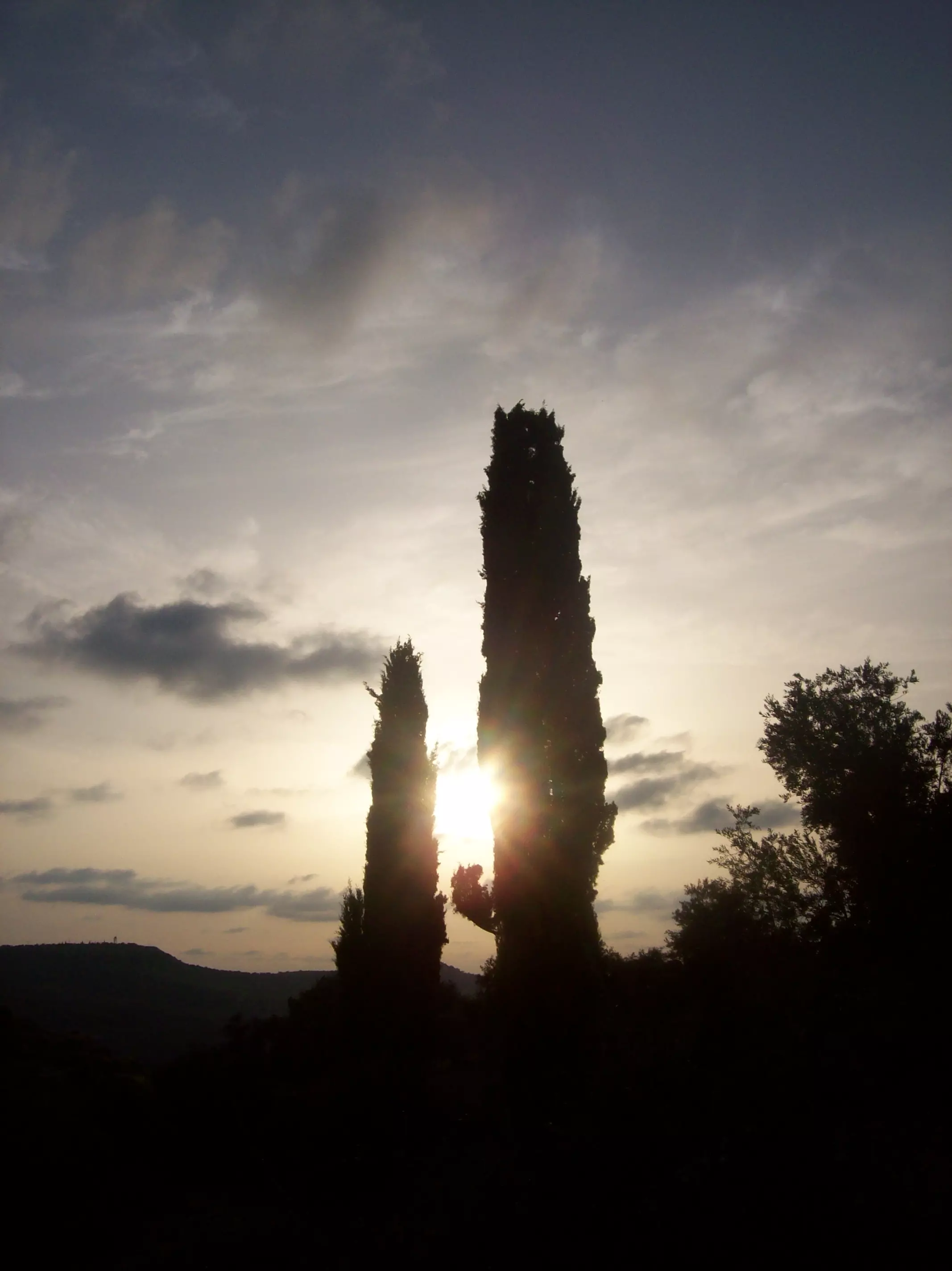
Posted by فلسطينية - غروب الشمس قوصين 2012

Posted by فلسطينية - شجرة الزعرور قوصين 2012

Posted by فلسطينية - وثيقة من العهد العثماني بتعيين المرحوم طاهر علي أبو ليلى مختارا لقوصين

Posted by Wael Abulaila - View of Nablus from Qusin
Posted by Zohair alqusiny - Few of Qusin 2014
Posted by Zohair alqusiny 1 - منظر عام
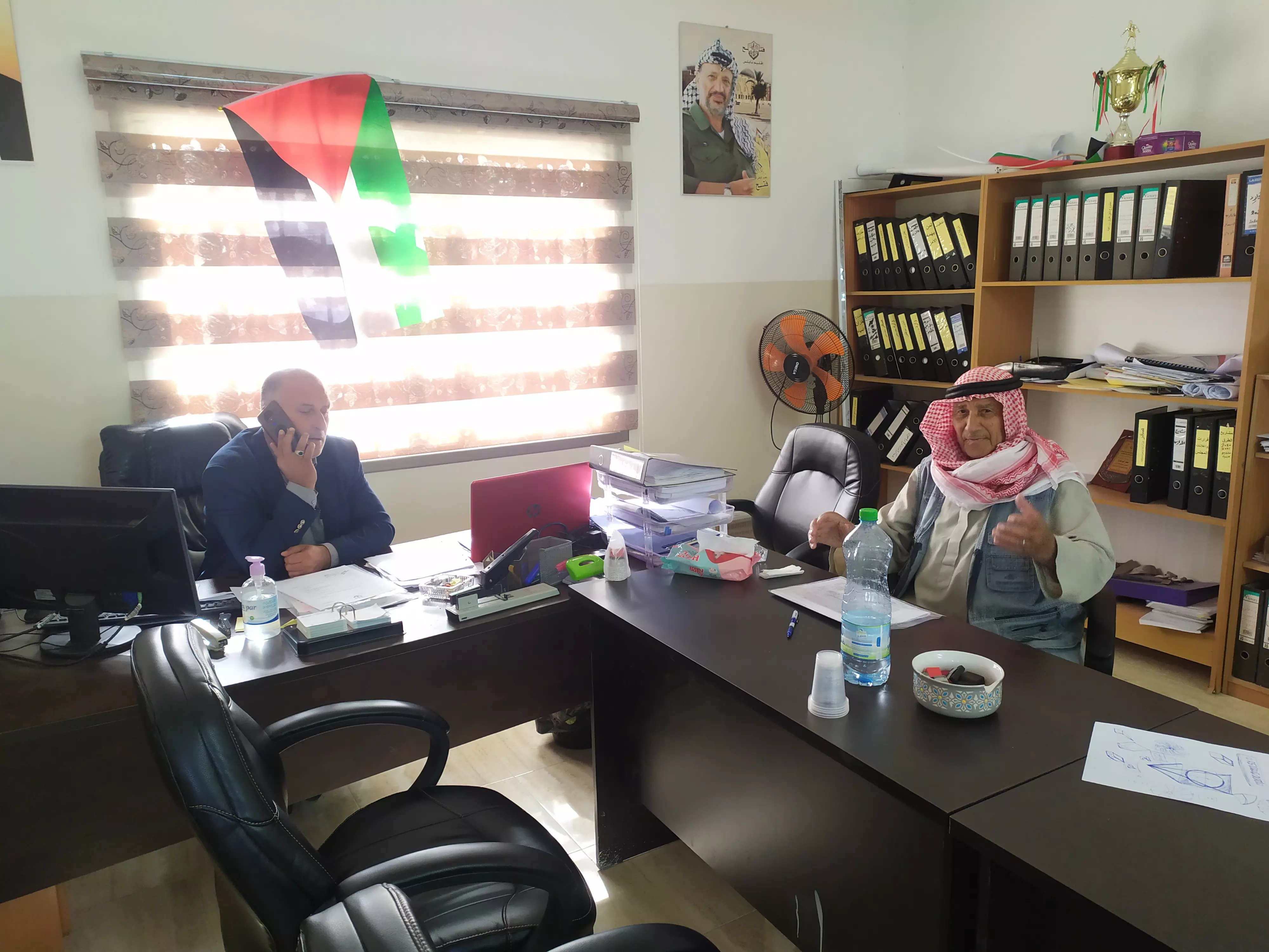
- الحاج يوسف سلمان ابو صدام صورة من داخل مقر مجلس قوصين الجديد
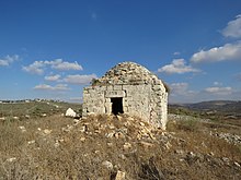
Posted by باسم سلمان - مقام الامام علي من الاماكن التاريخية في قرية قوصين قضاء نابلس
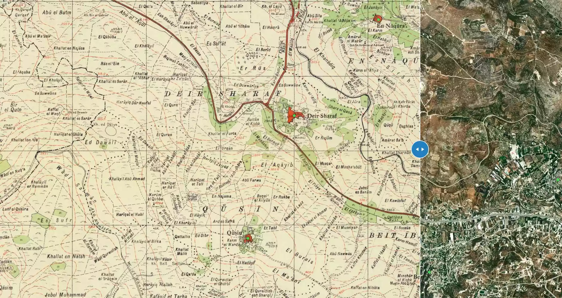
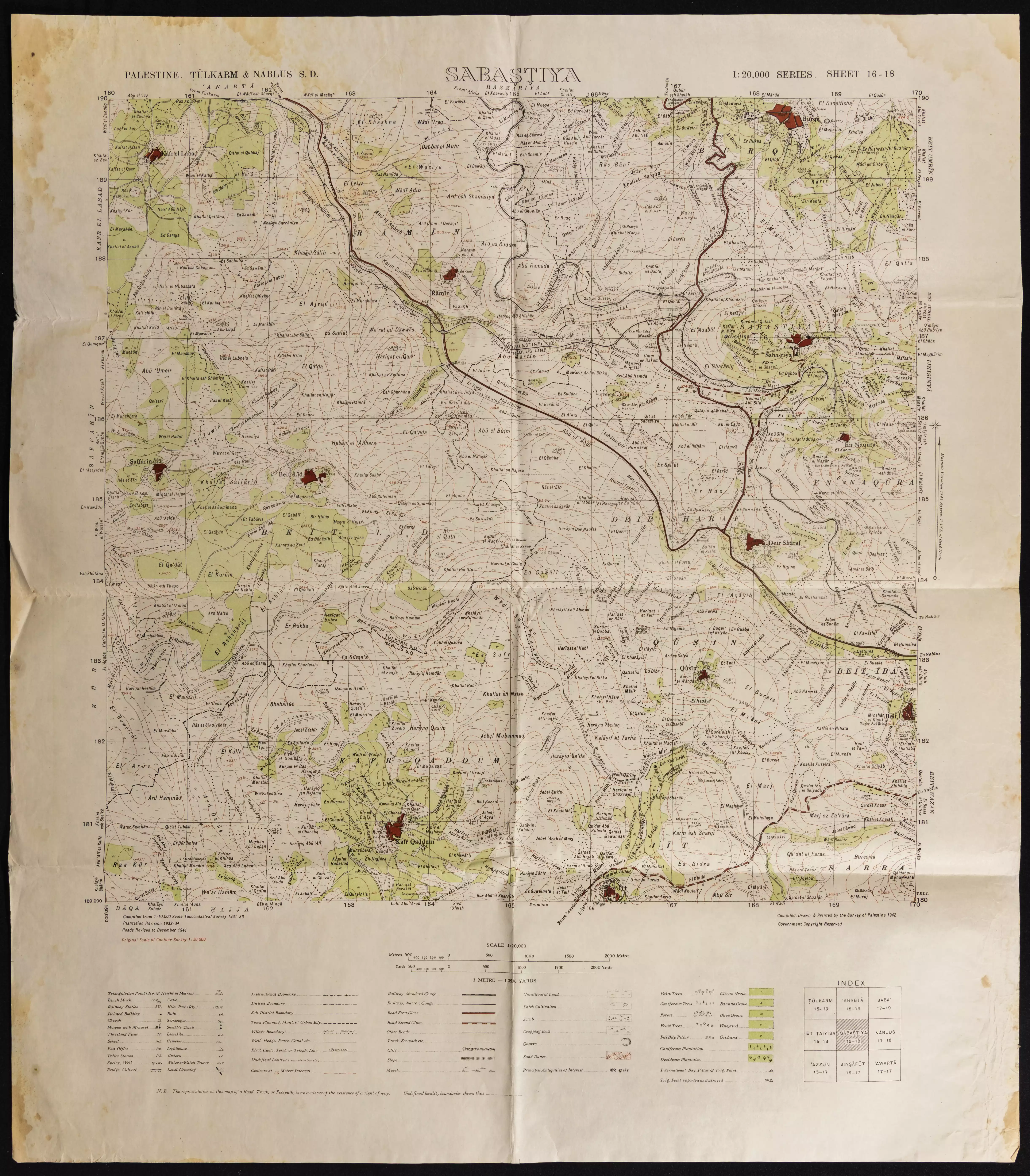
Posted by باسم سلمان - خارطة تُظهِر الحدود والطرق بأنواعها والأماكن المقدسة والطبيعة الطوبغرافية من تلال وسهول ومنحدرات والتشكيلة الطبيعية للأرض وأنواع المزروعات. نُشرت الخريطة فترة الانتداب البريطاني، تم إضافة تعديلات عليها من قِبَل خدمة الخرائط والصور التابعة للقوات العسكرية الاسرائيلية فترة الأربعينيات.
Want to browse more? 80,000 pictures were grouped in these gallaries:
| Display Name | Clan/Hamolah | Country of Residence |
| Wael Abulaila | - | - |
| Mahmoud/Zohair Yadak | - | Iowa, USA |
| تامر ابو ليلى | - | - |
| Samah Ali | Ali Khader | - |
| mustafa jaber | - | - |
| Mohammed Salman | - | Turkey-Ankara-odtü |
| Fathi Salman | S A L M A N | NIS, SERBIA |
- قوصين أحلا....عاصمة نابلس...مفتاح المدن....حلوة يا بلدي Duration: 5 min 22 sec
No links have been shared yet, be free to the first to share the first link.
 Fake Valor: Why Did Zionist Jews Hoist Nazis Flag on Their Ships in the 1930s?
What is new?
-
Facts About Oct. 7th Gaza Raid
-
Remined Us Please:: Who Did Rape Who? Palestinians Raped Israelis? Or, was the other way around?
-
When Prof. Edward Said was invited to debate Bibi Netanyahu in the 1980s, watch what happened!
-
Ezra Klein of the NY Times on the "Jewish Race".
-
Abusing Blood Libel!
-
Did Israeli Soldiers Activate The Hanniba Direective On Oct. 7th? You Be The Judge
-
Zionist FAQ: Isn't it true that Palestinians don't want peace? Palestinians never accepted the two-state solution
- Facts about Haavara (Transfer) Agreement between Ben-Gurion & Hitler
-
Haavara FAQs: Why Did Zionist Jews Hoist Nazis' Flags on Their Ships in the 1930s?
- Haavara FAQs: When Chaim Weizmann met FDR in mid-1943, why was he silent about rescuing European Jewry?
-
Dear ChatGPT: How did Palestinians resist Napoleon's invasion of their country in 1799?
-
Dear ChatGPT: Gaza had a vibrant Jewish community in the mid-17th century. What happened to them?
-
Dear ChatGPT: Why did the Jewish Agency suppress news of the Holocaust during WWII?
-
Video Playlist: Jews share their DNA tests to end the conflict for good.
-
A Tale of Two Conflicts: Examining the Definition of Genocide
-
Prof. Abraham Polak And The Suppressed History of the Khazars and European Jewry
-
How Ronald Reagan would have framed the genocide in Gaza if he were still alive?
-
Haavara FAQs: Let us do the math: how many German Jews did The Haavara Agreement save?
-
Zionist FAQs: The Hebron Massacre of 1929, "clearly proves" that Palestinians are antisemitic, how could you deny it?
-
Zionist FAQs: Why Anti-Zionist Is Not Antisemitism?
-
Zionist FAQs: Isn't it true that the KGB created Palestinian Nationalism in the early 1960s?
- Zionist FAQs: Muslims are killing Muslims all the time; why are Israeli Jews being singled out in the media?
- Zionist FAQs: How is Israel an apartheid state when 20% of its citizens are Arabs who enjoy full rights?
-
Haavara FAQs: Why Did Dorothy Thompson Flip From A Zionist Advocate to A Silenced Dissenter?
-
Haavara FAQs: Analysis of Herzl's Uganda Scheme and how it could have saved millions of Jews.
-
Haavara FAQs: Why did Hayim Greenberg describe American Jewry as "morally bankrupt" in early 1943?
-
Haavara FAQs: What if the Evian Conference was a resounding success? What would have been the impact of saving European Jewry on Zionism?
- Haavara FAQs: What if the six million were saved, how that would have impacted the Zionist project?
-
Haavara FAQs: How did Zionist leaders react when Europe's Jews lingered in the DP camps after WWII ended?
-
Why does the American Jewish community repeat lies that David Ben-Gurion had debunked before he died?
-
Who has the power to rename the Tatar/Khazar Gene Marker to Jewish IV?
-
Zionist FAQs: Why won't Egypt, Syria, and Jordan take their people back? Jews are indigenous to Palestine, and Arabs immigrated after Jews developed the country. Arabs should leave.
-
Haavara FAQs: Did Hitler and the Nazis conflate between Judaism and Zionist? If that wasn't case, then why?
-
Haavara FAQs: Winston Churchill and antisemitism, a collection of articles written Churchill.
-
Haavara FAQs: Broken by country, how many Jews survived vs. killed during the Holocaust?
-
Haavara FAQs: Why did European Jews vote with their feet and to immigrated to the Americas, not Palestine, after WWII?
-
Watch this American Jewish Girl describing Israeli Jews' cognitive dissonance like no other in under two minutes
-
Haavara FAQs: When the Nazis went out of their way to hide the Holocaust, Israeli Jews did the exact opposite by broadcasting their genocide of Gazans. But why?
-
Haavara FAQs: How Zionist Jews went out of their to show their appreciation to Nazism and Fascism?
- Haavara FAQs: Why Zionist leaders were against bombing the death camps & the Railroads leading to them?
-
Haavara FAQs: Hitler's message to the British and American people: If Jews are such noble citizens and you care about them, how come you're not letting them in? I will gladly ship them to you at my expense, even on luxury liners!
-
A shortlist of Zionist and Israeli false flag operations in the name Jews.
-
The Most Moral Army
- The Land of Kapos (Israel): Where the brave are boycotted and Kapos walk free.
- Why did early Zionists often named their communal enterprises "colonial"?
- Zionist Relations with Nazi Germany by Faris Glubb
-
Two NY Times advertisements by Zionists in the early 1943 that exposes Zionists' treason at the height of the calamity
- Facts Not Lies about the Palestinian-Israeli Conflict.
- Site's pictures have been categorized
- Campgain Against Lice
- A Survey of Palestine, the official source about Palestine before Nakba produced by the British Mandate; over 1200 pages.
- Satellite View & Google Earth: Over 6,000 placemarks identifying all destroyed towns, W. Bank & Gaza Strip Towns, & refugee camps.
- PalestineRemembered.com and its Nakba Oral History Project were featured on al-Jazeera Satellite TV.
- Nakba Oral History Video Podcast:
 Over 700 Oral History interviews (including 3,500+ hours of recording) can be viewed online.
 - Palestine Village Statistics Project
- Gaza Jail Break
- النسخة العربية للموقع الان متوفرة
- Videos: Documenting the destroyed villages in video: Tracing all that remains since Nakba.
- Videos: Responding to Zionist Propaganda
- Interview: The ethnic cleansing of Palestine: George Galloway interviews Israeli Historian Ilan Pappe.
- For Palestinians, memory matters. It provides a blueprint for their future By George Bisharat.
- Zionist FAQ now available in Hebrew שאלות שציונים שואלים, עכשיו בעברית
- Video: The Stephen Walt and John Mearsheimer report on the influence of the Israel Lobby on U.S. Foreign Policy
- The Palestinian-Israeli conflict for beginners